File:Marki location map(2).png
Jump to navigation
Jump to search
Size of this preview: 459 × 599 pixels. Other resolutions: 184 × 240 pixels | 368 × 480 pixels | 1,005 × 1,312 pixels.
Original file (1,005 × 1,312 pixels, file size: 959 KB, MIME type: image/png)
Captions
Captions
Add a one-line explanation of what this file represents
| Description |
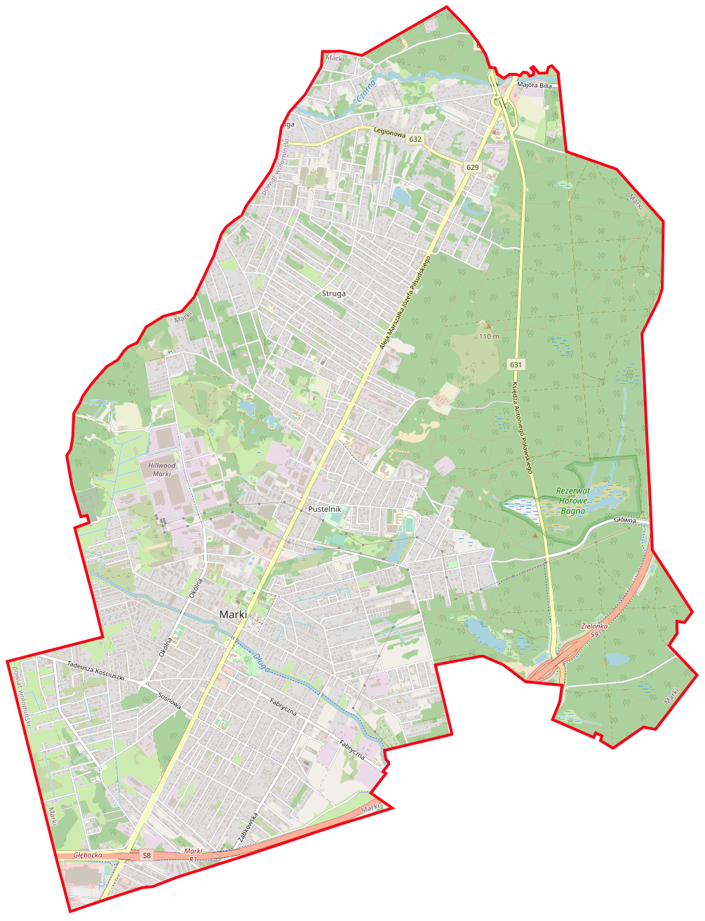
Polski: Mapa Marek, Polska
English: Map of Marki, Poland |
|||||||||
| Date | ||||||||||
| Source | You may find a page on the OpenStreetMap wiki page for Marki | |||||||||
| Creator |
OpenStreetMap contributors OpenStreetMap contributors |
|||||||||
| Permission (Reusing this file) |
OpenStreetMap data is available under the Open Database License (details). Standard style map tiles are licensed as ODbL Produced Works.
|
|||||||||
| Geotemporal data | ||||||||||
| Bounding box |
|
|||||||||
| Georeferencing | If inappropriate please set warp_status = skip to hide. | |||||||||
File history
Click on a date/time to view the file as it appeared at that time.
| Date/Time | Thumbnail | Dimensions | User | Comment | |
|---|---|---|---|---|---|
| current | 09:35, 11 March 2021 | | 1,005 × 1,312 (959 KB) | Crusier (talk | contribs) | update |
| 11:11, 17 December 2019 |  | 1,005 × 1,312 (889 KB) | Crusier (talk | contribs) | update | |
| 12:39, 19 March 2018 |  | 1,005 × 1,312 (880 KB) | Crusier (talk | contribs) | update | |
| 21:22, 20 December 2017 |  | 1,005 × 1,312 (866 KB) | Crusier (talk | contribs) | aktualizacja mapy | |
| 15:57, 16 September 2016 |  | 1,005 × 1,312 (855 KB) | ArkadiuszZ (talk | contribs) | {{OpenStreetMap | name = Marki | location = Marki | description = {{pl|Mapa Marek, Polska}} {{en|Map of Marki, Poland}} | top = 52.3713 | left = 21.0769 | right = 21.1631 | bottom... |
You cannot overwrite this file.
File usage on Commons
The following page uses this file:
File usage on other wikis
The following other wikis use this file:
- Usage on pl.wikipedia.org
- Rezerwat przyrody Horowe Bagno
- Pustelnik (Marki)
- Struga (Marki)
- Fabryka braci Briggs
- Struga Warszawska
- Marki (przystanek kolejowy)
- Pustelnik I (przystanek kolejowy)
- Pustelnik II (stacja kolejowa)
- Centrum (Marki)
- Czarna Struga (Marki)
- Jezioro Czarne (Marki)
- Struga (stacja kolejowa)
- Cmentarz żydowski w Markach
- Maszt nadawczy w Markach
- Marki Wąskotorowe
- Parafia św. Izydora w Markach
- Parafia św. Andrzeja Boboli w Markach
- Parafia Matki Bożej Królowej Polski w Markach-Pustelniku
- Parafia Najświętszej Maryi Panny Matki Kościoła w Markach
- Kościół Niepokalanego Poczęcia Najświętszej Maryi Panny w Markach
- Kościół św. Andrzeja Boboli w Markach
- Muzeum Techniki Wojskowej i Cywilnej w Markach
- Moduł:Mapa/dane/Marki
- Cmentarz parafii pw. św. Izydora w Markach
- Mareckie Centrum Edukacyjno-Rekreacyjne
- Cmentarz ewangelicko-augsburski w Markach
- Usage on pl.wikibooks.org
- Usage on www.wikidata.org
.png&oldid=658660760)