File:Maricopa County Incorporated and Planning areas Gila Bend highlighted.svg
Jump to navigation
Jump to search

Size of this PNG preview of this SVG file: 694 × 599 pixels. Other resolutions: 278 × 240 pixels | 556 × 480 pixels | 889 × 768 pixels | 1,185 × 1,024 pixels | 2,371 × 2,048 pixels | 940 × 812 pixels.
Original file (SVG file, nominally 940 × 812 pixels, file size: 1.05 MB)
Captions
Captions
Add a one-line explanation of what this file represents
Summary
[edit]
| Description |
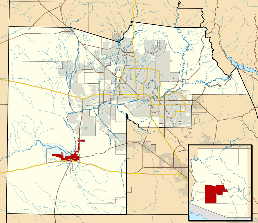
This map shows the incorporated areas and Indian reservation boundaries in Maricopa County, Arizona, along with water bodies and major highways and roads.
|
| Date | |
| Source | My own work, based on government information |
| Author | Ixnayonthetimmay |
| Permission (Reusing this file) |
Public Domain |
| Other versions | See Category:Maps of Maricopa County for other versions of this image. |
Licensing
| I, the copyright holder of this work, release this work into the public domain. This applies worldwide. In some countries this may not be legally possible; if so: I grant anyone the right to use this work for any purpose, without any conditions, unless such conditions are required by law. |
File history
Click on a date/time to view the file as it appeared at that time.
| Date/Time | Thumbnail | Dimensions | User | Comment | |
|---|---|---|---|---|---|
| current | 06:28, 20 May 2011 | | 940 × 812 (1.05 MB) | Ixnayonthetimmay (talk | contribs) | Uploading new version |
| 04:08, 30 August 2008 |  | 900 × 800 (413 KB) | Ixnayonthetimmay (talk | contribs) | == Summary == {{Information |Description=This map shows the incorporated areas and unincorporated areas in Maricopa County, Arizona. [[:en:Gila Bend, Arizona | |
| 00:26, 16 September 2007 |  | 900 × 800 (384 KB) | Ixnayonthetimmay (talk | contribs) | == Summary == {{Information |Description=This map shows the incorporated areas in Maricopa County, Arizona. It also shows the boundaries for the municipal planning areas. [[:en:Gila Ben | |
| 09:58, 28 May 2007 |  | 900 × 780 (329 KB) | Ixnayonthetimmay (talk | contribs) | ||
| 00:05, 22 May 2007 |  | 900 × 780 (318 KB) | Ixnayonthetimmay (talk | contribs) | ||
| 05:03, 30 January 2007 |  | 904 × 758 (189 KB) | Ixnayonthetimmay (talk | contribs) | {{Information |Description=This map shows the incorporated areas in Maricopa County, Arizona, highlighting Gila Bend in red. It also shows the boundaries for th |
You cannot overwrite this file.
File usage on Commons
The following page uses this file:
File usage on other wikis
The following other wikis use this file:
- Usage on ar.wikipedia.org
- Usage on ca.wikipedia.org
- Usage on cy.wikipedia.org
- Usage on de.wikipedia.org
- Usage on eu.wikipedia.org
- Usage on fa.wikipedia.org
- Usage on fr.wikipedia.org
- Usage on ht.wikipedia.org
- Usage on it.wikipedia.org
- Usage on mzn.wikipedia.org
- Usage on pt.wikipedia.org
- Usage on sr.wikipedia.org
- Usage on tt.wikipedia.org
- Usage on www.wikidata.org
- Usage on zh-min-nan.wikipedia.org