File:Maria 2017-09-18 GOES-16.png
Jump to navigation
Jump to search
Size of this preview: 800 × 450 pixels. Other resolutions: 320 × 180 pixels | 640 × 360 pixels | 1,024 × 576 pixels | 1,280 × 720 pixels | 1,920 × 1,080 pixels.
Original file (1,920 × 1,080 pixels, file size: 2.87 MB, MIME type: image/png)
Captions
Captions
Add a one-line explanation of what this file represents
Summary
[edit]
| Description |
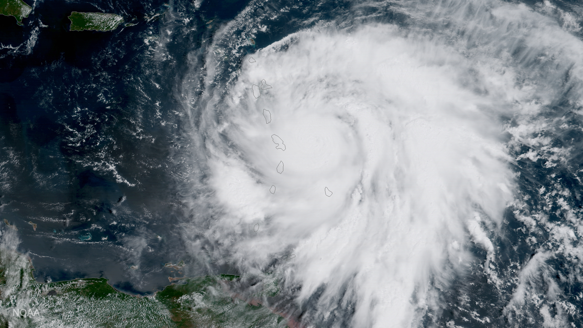
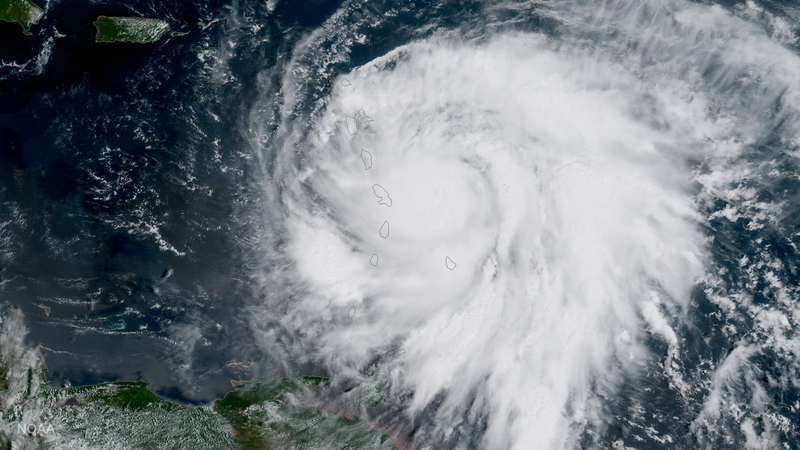
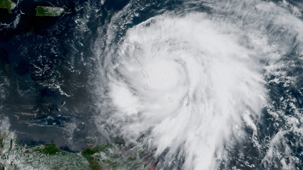
English: NOAA's GOES-16 satellite captured this image of Hurricane Maria approaching the Leeward Islands today, September 18, 2017. As of 11:00 am EDT on September 18, this category three storm was located about 60 miles east of Martinique and moving toward the west-northwest near 10 miles per hour. Forecasters with NOAA’s National Hurricane Center say Maria, which has maximum sustained winds of near 120 miles per hour, is expected to be a dangerous major hurricane as it moves through the Leeward Islands and the northeastern Caribbean Sea. |
| Date | |
| Source | https://www.nesdis.noaa.gov/content/hurricane-maria-raised-major-status |
| Author | NOAA National Environmental Satellite, Data, and Information Service (NESDIS) |
Licensing
[edit]
This image is in the public domain because it contains materials that originally came from the U.S. National Oceanic and Atmospheric Administration, taken or made as part of an employee's official duties.
|
File history
Click on a date/time to view the file as it appeared at that time.
| Date/Time | Thumbnail | Dimensions | User | Comment | |
|---|---|---|---|---|---|
| current | 08:14, 6 March 2018 | | 1,920 × 1,080 (2.87 MB) | A1Cafel (talk | contribs) | User created page with UploadWizard |
You cannot overwrite this file.
File usage on Commons
There are no pages that use this file.