File:Mape Reservoir.png
Jump to navigation
Jump to search
Size of this preview: 800 × 512 pixels. Other resolutions: 320 × 205 pixels | 640 × 410 pixels | 1,025 × 656 pixels.
Original file (1,025 × 656 pixels, file size: 1.22 MB, MIME type: image/png)
Captions
Captions
Add a one-line explanation of what this file represents
Summary
[edit]
| Description |
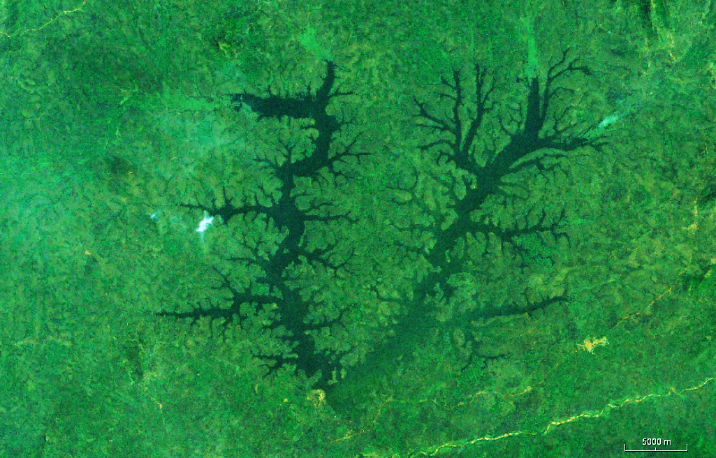
English: Mape Reservoir |
| Date | |
| Source | Worldwind |
| Author | Nasa |
Licensing
[edit]
| This image is in the public domain because it is a screenshot from NASA’s globe software World Wind using a public domain layer, such as Blue Marble, MODIS, Landsat, SRTM, USGS or GLOBE.
|
 |
File history
Click on a date/time to view the file as it appeared at that time.
| Date/Time | Thumbnail | Dimensions | User | Comment | |
|---|---|---|---|---|---|
| current | 06:34, 8 December 2018 | | 1,025 × 656 (1.22 MB) | Peter in s (talk | contribs) | Contrast, bright |
| 14:46, 5 November 2018 |  | 1,025 × 656 (932 KB) | Peter in s (talk | contribs) | {{Information |description ={{en|1=Mape Reservoir}} |date =2018-11-05 |source =Worldwind |author =Nasa }} Category:Reservoirs in Cameroon Category:Lakes of Cameroon |
You cannot overwrite this file.
File usage on Commons
The following 3 pages use this file:
File usage on other wikis
The following other wikis use this file:
- Usage on fr.wikipedia.org
- Usage on www.wikidata.org