File:Mapa ilustrativo de las Naciones Unidas, 1982.jpg
Jump to navigation
Jump to search
Size of this preview: 774 × 600 pixels. Other resolutions: 310 × 240 pixels | 619 × 480 pixels | 991 × 768 pixels | 1,280 × 992 pixels | 2,560 × 1,984 pixels | 3,000 × 2,325 pixels.
Original file (3,000 × 2,325 pixels, file size: 1.68 MB, MIME type: image/jpeg)
Captions
Captions
Add a one-line explanation of what this file represents
Summary
[edit]
| Description |
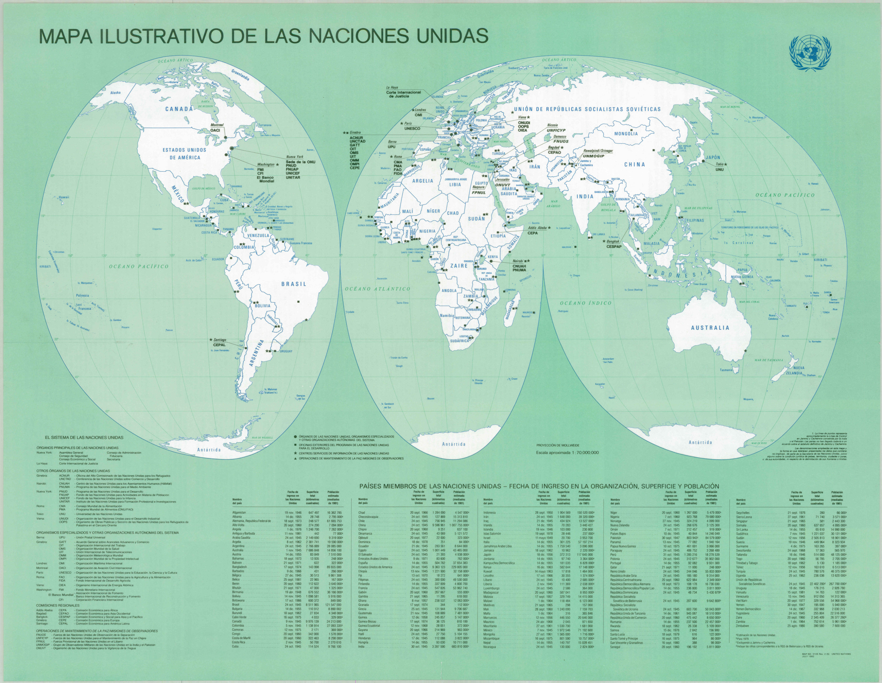
Español: Mapamundi que muestra los países miembros de las Naciones Unidas y las sedes de las agencias afiliadas
English: World map that shows the member countries of the United Nations and the headquarters of the affiliated agencies. Written in Spanish. |
| Date | |
| Source | Biblioteca Nacional de Uruguay |
| Author | Naciones Unidas - United Nations |
Licensing
[edit]
This text document, published by the United Nations without a copyright notice, was left in the public domain in order to disseminate "as widely as possible the ideas (contained) in the United Nations Publications" (detail). It falls into one of the following categories outlined in Administrative Instruction ST/AI/189/Add.9/Rev.2 (paragraph 2):
See Also: {{PD-US-no notice-UN}} to be used by document of the United Nations published in the United States prior to 17 September 1987 and {{PD-UN-map}} for UN maps. |
 |
File history
Click on a date/time to view the file as it appeared at that time.
| Date/Time | Thumbnail | Dimensions | User | Comment | |
|---|---|---|---|---|---|
| current | 18:39, 6 November 2023 | | 3,000 × 2,325 (1.68 MB) | Universalis (talk | contribs) | Uploaded a work by Naciones Unidas - United Nations from Biblioteca Nacional de Uruguay with UploadWizard |
You cannot overwrite this file.
File usage on Commons
There are no pages that use this file.