File:Mapa do Distrito de Betel.png
Jump to navigation
Jump to search
Size of this preview: 435 × 599 pixels. Other resolutions: 174 × 240 pixels | 349 × 480 pixels | 558 × 768 pixels | 744 × 1,024 pixels | 2,386 × 3,284 pixels.
Original file (2,386 × 3,284 pixels, file size: 1.3 MB, MIME type: image/png)
Captions
Captions
Add a one-line explanation of what this file represents
Summary
[edit]
| Description |
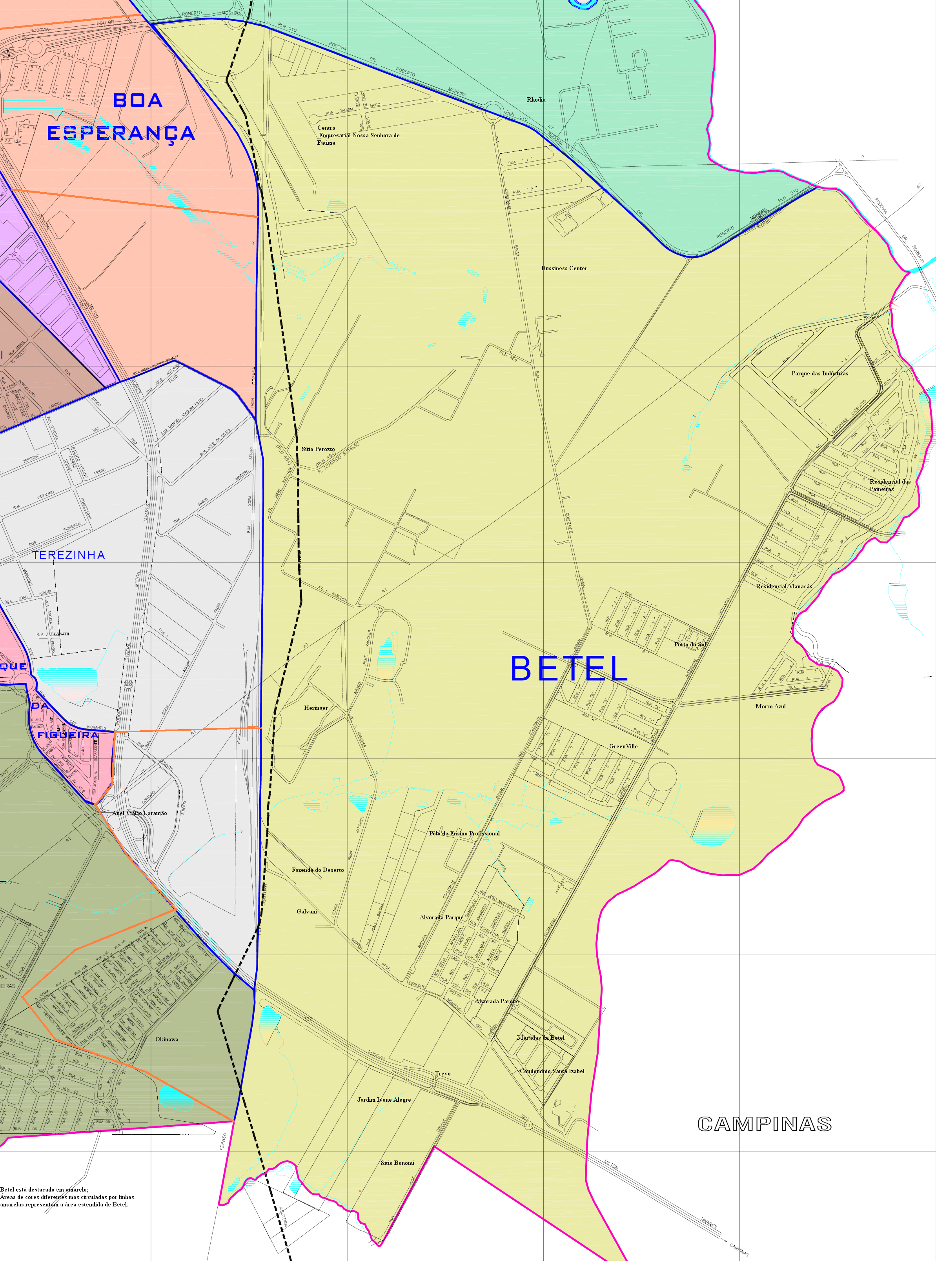
Português: Mapa da região de Betel, em Paulínia. |
| Date | |
| Source | Own work |
| Author | Richard Melo da Silva (talk) 09:59, 16 January 2009 (UTC) |
Licensing
[edit]
| I, the copyright holder of this work, release this work into the public domain. This applies worldwide. In some countries this may not be legally possible; if so: I grant anyone the right to use this work for any purpose, without any conditions, unless such conditions are required by law. |
File history
Click on a date/time to view the file as it appeared at that time.
| Date/Time | Thumbnail | Dimensions | User | Comment | |
|---|---|---|---|---|---|
| current | 09:59, 16 January 2009 | | 2,386 × 3,284 (1.3 MB) | Richard Melo da Silva (talk | contribs) | {{Information |Description={{pt|1=Mapa da região de Betel, em Paulínia.}} |Source=Trabalho Próprio |Author=~~~~ |Date=16/01/2009 |Permission= |other_versions= }} <!--{{ImageUpload|full}}--> Category:Paulínia |
You cannot overwrite this file.
File usage on Commons
There are no pages that use this file.
File usage on other wikis
The following other wikis use this file:
- Usage on pt.wikipedia.org
- Usage on www.wikidata.org