File:Mapa de la cultura Tumaco-La Tolita.jpg
Jump to navigation
Jump to search
Size of this preview: 800 × 549 pixels. Other resolutions: 320 × 220 pixels | 640 × 439 pixels | 1,100 × 755 pixels.
Original file (1,100 × 755 pixels, file size: 421 KB, MIME type: image/jpeg)
Captions
Captions
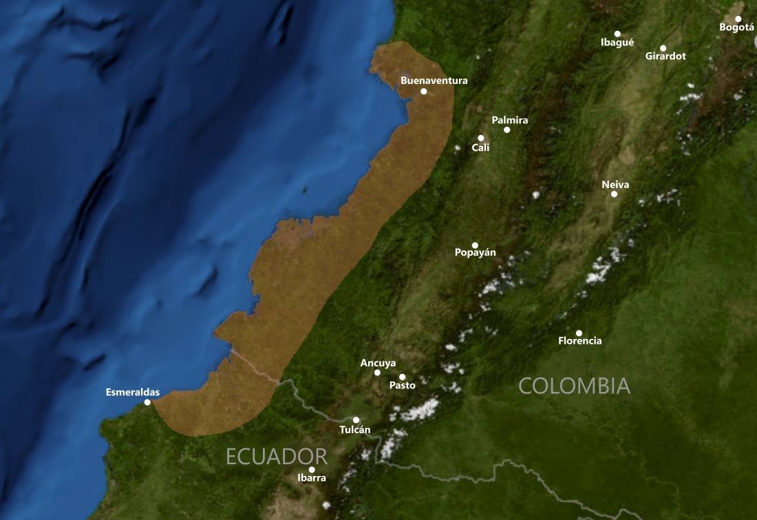
Distribution map of Tumaco-La Tolita culture
Summary
[edit]
| Description |
English: Geographical distribution map of Tumaco-La Tolita culture
Español: Mapa de distribución geográfica de la cultura Tumaco-La Tolita |
| Date | |
| Source | NASA WorldWind |
| Author | NASA |
Licensing
[edit]
| This file is in the public domain in the United States because it was solely created by NASA. NASA copyright policy states that "NASA material is not protected by copyright unless noted". (See Template:PD-USGov, NASA copyright policy page or JPL Image Use Policy.) | ||
 |
Warnings:
|
File history
Click on a date/time to view the file as it appeared at that time.
| Date/Time | Thumbnail | Dimensions | User | Comment | |
|---|---|---|---|---|---|
| current | 15:21, 26 September 2022 | | 1,100 × 755 (421 KB) | SimonLuzuriaga (talk | contribs) | Uploaded a work by NASA from NASA WorldWind with UploadWizard |
You cannot overwrite this file.
File usage on Commons
There are no pages that use this file.
File usage on other wikis
The following other wikis use this file:
- Usage on en.wikipedia.org
- Usage on es.wikipedia.org