File:Mapa de la Provincia de Los Santos.JPG
Jump to navigation
Jump to search
Size of this preview: 574 × 600 pixels. Other resolutions: 230 × 240 pixels | 585 × 611 pixels.
Original file (585 × 611 pixels, file size: 50 KB, MIME type: image/jpeg)
Captions
Captions
Add a one-line explanation of what this file represents
Summary
[edit]
| Description |
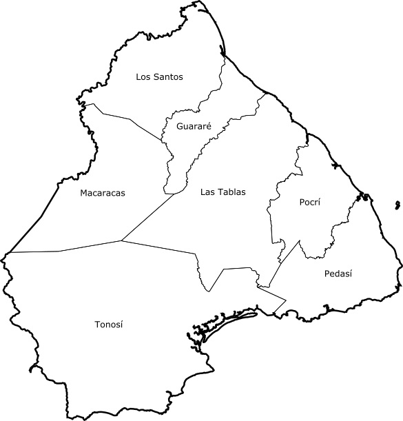
Español: División politica de la provincia de los santos |
| Source | Own work |
| Author | Carlos A. Rodríguez De Gracia |
Licensing
[edit]
I, the copyright holder of this work, hereby publish it under the following license:
This file is licensed under the Creative Commons Attribution 3.0 Unported license.
- You are free:
- to share – to copy, distribute and transmit the work
- to remix – to adapt the work
- Under the following conditions:
- attribution – You must give appropriate credit, provide a link to the license, and indicate if changes were made. You may do so in any reasonable manner, but not in any way that suggests the licensor endorses you or your use.
File history
Click on a date/time to view the file as it appeared at that time.
| Date/Time | Thumbnail | Dimensions | User | Comment | |
|---|---|---|---|---|---|
| current | 01:02, 23 March 2015 | | 585 × 611 (50 KB) | Rgarciacq (talk | contribs) | Mejoro la orientación del mapa. |
| 22:04, 29 September 2010 |  | 526 × 512 (29 KB) | Carlos A. Rodríguez De Gracia (talk | contribs) | {{Information |Description={{es|1=Category:MapaDivisión politica de la provincia de los santos}} |Source={{own}} |Author=Carlos A. Rodríguez De Gracia |Date= |Permission= |other_versions= }} |
You cannot overwrite this file.
File usage on Commons
There are no pages that use this file.