File:Mapa de Portugal - Distritos plain.png
Jump to navigation
Jump to search

Size of this preview: 328 × 600 pixels. Other resolutions: 131 × 240 pixels | 262 × 480 pixels | 667 × 1,220 pixels.
Original file (667 × 1,220 pixels, file size: 124 KB, MIME type: image/png)
Captions
Captions
Add a one-line explanation of what this file represents
Summary
[edit]
| Description |
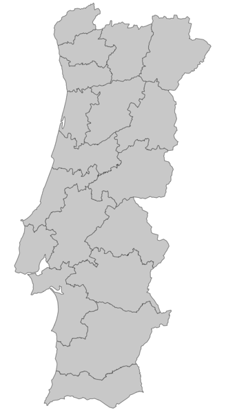
Imagem simples dos distritos de Portugal, para usar em mapas de localização
|
| Date | 9 January 2006 (original upload date) |
| Source | No machine-readable source provided. Own work assumed (based on copyright claims). |
| Author | No machine-readable author provided. Nuno Tavares assumed (based on copyright claims). |
Licensing
[edit]
I, the copyright holder of this work, hereby publish it under the following licenses:

|
Permission is granted to copy, distribute and/or modify this document under the terms of the GNU Free Documentation License, Version 1.2 or any later version published by the Free Software Foundation; with no Invariant Sections, no Front-Cover Texts, and no Back-Cover Texts. A copy of the license is included in the section entitled GNU Free Documentation License. |
| This file is licensed under the Creative Commons Attribution-Share Alike 3.0 Unported license. | ||
| ||
| This licensing tag was added to this file as part of the GFDL licensing update. |
This file is licensed under the Creative Commons Attribution 2.5 Generic license.
- You are free:
- to share – to copy, distribute and transmit the work
- to remix – to adapt the work
- Under the following conditions:
- attribution – You must give appropriate credit, provide a link to the license, and indicate if changes were made. You may do so in any reasonable manner, but not in any way that suggests the licensor endorses you or your use.
You may select the license of your choice.
File history
Click on a date/time to view the file as it appeared at that time.
| Date/Time | Thumbnail | Dimensions | User | Comment | |
|---|---|---|---|---|---|
| current | 02:13, 9 January 2006 | | 667 × 1,220 (124 KB) | Nuno Tavares (talk | contribs) | Imagem simples dos distritos de Portugal, para usar em mapas de localização ;Author: gerado por User:Nuno Tavares a partir do Image:Mapa de Portugal.svg de User:Rei-artur. category:Maps of Portugal |
You cannot overwrite this file.
File usage on Commons
There are no pages that use this file.
File usage on other wikis
The following other wikis use this file:
- Usage on pt.wikipedia.org
- Pousada do Castelo de Alvito
- Pousada de São Francisco
- Pousada de D. Dinis
- Pousada do Convento de Belmonte
- Predefinição:Info/PousadaPC
- Pousada da Rainha Santa Isabel
- Mosteiro de Santa Marinha da Costa
- Pousada do Solar da Rede
- Pousada do Castelo
- Pousada do Castelo de Palmela
- Pousada D. Maria I
- Pousada de São Filipe
- Pousada do Convento da Graça
- Pousada da Ria
- Pelourinho de Setúbal
- Predefinição:Info/Pelourinho
- Pelourinho de Aljezur
- Pelourinho de Messejana
- Pousada de Viseu
- Pousada de Condeixa-a-Nova
- Pousada do Gerês
- Predefinição:Info/Pelourinho/doc
- Pelourinho de Oliveira do Conde