File:Mapa de Pedro Moncayo.png
Jump to navigation
Jump to search
No higher resolution available.
Mapa_de_Pedro_Moncayo.png (564 × 399 pixels, file size: 22 KB, MIME type: image/png)
Captions
Captions
Add a one-line explanation of what this file represents
Summary
[edit]
| Description |
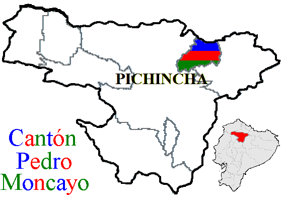
Español: Este es el mapa del cantón Pedro Moncayo, su ubicación con respecto a la provincia, al país y al continente. |
| Source | Own work |
| Author | Pepedavila |
Licensing
[edit]
| I, the copyright holder of this work, release this work into the public domain. This applies worldwide. In some countries this may not be legally possible; if so: I grant anyone the right to use this work for any purpose, without any conditions, unless such conditions are required by law. |
File history
Click on a date/time to view the file as it appeared at that time.
| Date/Time | Thumbnail | Dimensions | User | Comment | |
|---|---|---|---|---|---|
| current | 01:03, 22 April 2011 | | 564 × 399 (22 KB) | David C. S. (talk | contribs) | Imagen |
| 01:17, 27 November 2008 |  | 961 × 639 (32 KB) | Pepedavila (talk | contribs) | {{Information |Description={{es|1=Este es el mapa del cantón Pedro Moncayo, su ubicación con respecto a la provincia, al país y al continente.}} |Source=Own work by uploader |Author=Pepedavila |Date= |Permission= |other_versions= }} |
You cannot overwrite this file.
File usage on Commons
There are no pages that use this file.