File:Mapa Ferrovia do Aco.png
Jump to navigation
Jump to search
Size of this preview: 772 × 600 pixels. Other resolutions: 309 × 240 pixels | 618 × 480 pixels | 909 × 706 pixels.
Original file (909 × 706 pixels, file size: 502 KB, MIME type: image/png)
Captions
Captions
Add a one-line explanation of what this file represents
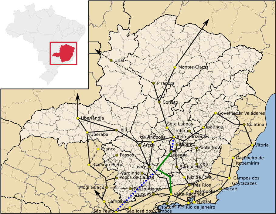
| Description | Mapa das ferrovias de Minas Gerais destacando a Ferrovia do Aço |
| Date | (UTC) |
| Source | |
| Author |
|
| This is a retouched picture, which means that it has been digitally altered from its original version. Modifications: Cleaned, updated and added railway info. The original can be viewed here: MinasGerais MesoMicroMunicip.svg:
|
I, the copyright holder of this work, hereby publish it under the following licenses:
This file is licensed under the Creative Commons Attribution 2.5 Generic license.
- You are free:
- to share – to copy, distribute and transmit the work
- to remix – to adapt the work
- Under the following conditions:
- attribution – You must give appropriate credit, provide a link to the license, and indicate if changes were made. You may do so in any reasonable manner, but not in any way that suggests the licensor endorses you or your use.
| This file is licensed under the Creative Commons Attribution-Share Alike 3.0 Unported license. | ||
| ||
| This licensing tag was added to this file as part of the GFDL licensing update. |

|
Permission is granted to copy, distribute and/or modify this document under the terms of the GNU Free Documentation License, Version 1.2 or any later version published by the Free Software Foundation; with no Invariant Sections, no Front-Cover Texts, and no Back-Cover Texts. A copy of the license is included in the section entitled GNU Free Documentation License. |
You may select the license of your choice.
Original upload log
[edit]
This image is a derivative work of the following images:
- File:MinasGerais_MesoMicroMunicip.svg licensed with Cc-by-2.5, Cc-by-sa-3.0-migrated, GFDL
- 2006-08-28T02:39:32Z Raphael.lorenzeto 914x709 (1999828 Bytes) Updating base model
- 2006-04-29T09:14:43Z Raphael.lorenzeto 843x684 (1780589 Bytes)
- 2006-04-29T03:32:03Z Raphael.lorenzeto 843x684 (1780589 Bytes) {{Information| |Description=Map of Minas Gerais state |Source=own work |Date=April, 29 2006 |Author=Raphael Lorenzeto de Abreu |Permission={{self2|GFDL|cc-by-2.5}} |other_versions= }} [[Category:Maps of Minas Gerais]]
Uploaded with derivativeFX
File history
Click on a date/time to view the file as it appeared at that time.
| Date/Time | Thumbnail | Dimensions | User | Comment | |
|---|---|---|---|---|---|
| current | 22:35, 31 December 2009 | | 909 × 706 (502 KB) | Sekelsenmat (talk | contribs) | {{Information |Description=Mapa das ferrovias de Minas Gerais destacando a Ferrovia do Aço |Source=*File:MinasGerais_MesoMicroMunicip.svg |Date=2009-12-31 22:35 (UTC) |Author=*File:MinasGerais_MesoMicroMunicip.svg: Raphael Lorenzeto de Abreu |
You cannot overwrite this file.
File usage on Commons
The following page uses this file:
File usage on other wikis
The following other wikis use this file:
- Usage on pt.wikipedia.org
- Usage on www.wikidata.org