File:Mapa Ambrosio.PNG
Jump to navigation
Jump to search
Size of this preview: 800 × 527 pixels. Other resolutions: 320 × 211 pixels | 640 × 421 pixels | 943 × 621 pixels.
Original file (943 × 621 pixels, file size: 78 KB, MIME type: image/png)
Captions
Captions
Add a one-line explanation of what this file represents
Summary
[edit]
| Description |
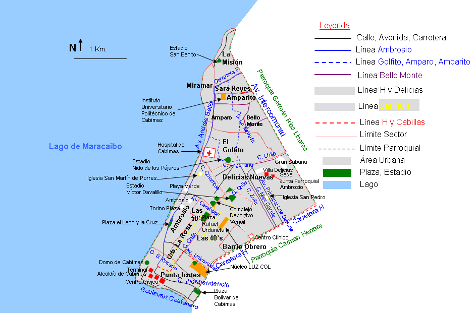
Español: Mapa de la Parroquia Ambrosio, Municipio Cabimas, Zulia, Venezuela |
| Date | 01/07/2008 |
| Source | Own work |
| Author | Andrés González |
Licensing
[edit]
| I, the copyright holder of this work, release this work into the public domain. This applies worldwide. In some countries this may not be legally possible; if so: I grant anyone the right to use this work for any purpose, without any conditions, unless such conditions are required by law. |
File history
Click on a date/time to view the file as it appeared at that time.
| Date/Time | Thumbnail | Dimensions | User | Comment | |
|---|---|---|---|---|---|
| current | 18:58, 10 January 2012 | | 943 × 621 (78 KB) | Andrés González (talk | contribs) | Mas y nuevos nombres de calles, añadidos puntos de referencia (hospitales, plazas, estadios, edificios), cambios en el estilo para mejorar la legibilidad |
| 20:21, 18 August 2010 |  | 945 × 567 (61 KB) | Andrés González (talk | contribs) | Nuevo mapa con escala, norte, colores y vías principales | |
| 20:53, 1 July 2008 |  | 401 × 532 (30 KB) | Andrés González (talk | contribs) | {{Information |Description={{es|1=Mapa de la Parroquia Ambrosio, Municipio Cabimas, Zulia, Venezuela}} |Source=Own work |Author=Andrés González |Date=01/07/2008 |Permission= |other_versions= }} {{ImageUpload|full}} |
You cannot overwrite this file.
File usage on Commons
There are no pages that use this file.
File usage on other wikis
The following other wikis use this file:
- Usage on es.wikipedia.org
- Usage on fr.wikipedia.org