File:Map slovakia krompachy.png
Jump to navigation
Jump to search
No higher resolution available.
Map_slovakia_krompachy.png (641 × 313 pixels, file size: 32 KB, MIME type: image/png)
Captions
Captions
Add a one-line explanation of what this file represents
Summary
[edit]
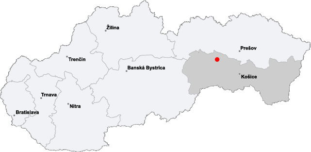
Location of the village of Krompachy in eastern Slovakia.
Made by myself using Image:Map_slovakia_trebisov.png from Commons.
Licensing
[edit]
| I, the copyright holder of this work, release this work into the public domain. This applies worldwide. In some countries this may not be legally possible; if so: I grant anyone the right to use this work for any purpose, without any conditions, unless such conditions are required by law. |
File history
Click on a date/time to view the file as it appeared at that time.
| Date/Time | Thumbnail | Dimensions | User | Comment | |
|---|---|---|---|---|---|
| current | 20:58, 15 January 2006 | | 641 × 313 (32 KB) | PM (talk | contribs) | == Opis == Location of the village of Krompachy in eastern Slovakia. Made by myself using Image:Map_slovakia_trebisov.png from Commons. == Licensing == {{PD-self}} Category:Locator maps of cities in Slovakia |
You cannot overwrite this file.
File usage on Commons
The following page uses this file: