File:Map oriental full.png
Jump to navigation
Jump to search
Size of this preview: 500 × 600 pixels. Other resolutions: 200 × 240 pixels | 400 × 480 pixels | 747 × 896 pixels.
Original file (747 × 896 pixels, file size: 83 KB, MIME type: image/png)
Captions
Captions
Add a one-line explanation of what this file represents
Summary
[edit]
| Description |
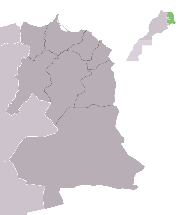
English: Map oriental full |
| Date | |
| Source | Own work |
| Author | Ajellid-n-arif |
Licensing
[edit]
I, the copyright holder of this work, hereby publish it under the following license:
This file is licensed under the Creative Commons Attribution-Share Alike 4.0 International license.
- You are free:
- to share – to copy, distribute and transmit the work
- to remix – to adapt the work
- Under the following conditions:
- attribution – You must give appropriate credit, provide a link to the license, and indicate if changes were made. You may do so in any reasonable manner, but not in any way that suggests the licensor endorses you or your use.
- share alike – If you remix, transform, or build upon the material, you must distribute your contributions under the same or compatible license as the original.
File history
Click on a date/time to view the file as it appeared at that time.
| Date/Time | Thumbnail | Dimensions | User | Comment | |
|---|---|---|---|---|---|
| current | 18:35, 14 February 2016 | | 747 × 896 (83 KB) | Ajellid-n-arif (talk | contribs) | User created page with UploadWizard |
You cannot overwrite this file.
File usage on Commons
There are no pages that use this file.
File usage on other wikis
The following other wikis use this file:
- Usage on ar.wikipedia.org
- فجيج
- زايو
- إقليم بركان
- إقليم فجيج
- إقليم جرادة
- إقليم الناظور
- عمالة وجدة أنكاد
- إقليم تاوريرت
- بركان (مدينة)
- جرادة (مدينة)
- السعيدية (المغرب)
- الناظور (المغرب)
- بوعرفة (المغرب)
- العروي
- ميضار
- الدريوش
- ابن الطيب
- تالسينت
- بني أنصار
- أزغنغان
- عين بني مطهر
- أحفير
- سلوان (المغرب)
- رأس الماء (المغرب)
- بني درار
- بوعنان
- دبدو
- إقليم الدريوش
- تندرارة
- إقليم جرسيف
- تويسيت
- بوشاون
- بني تدجيت
- جهة الشرق
- قالب:جهة الشرق
- أكليم
- عين الركادة
- سيدي سليمان الشراعة
- Usage on en.wikipedia.org
View more global usage of this file.