File:Map of wards of Okayama city.png
Jump to navigation
Jump to search
Size of this preview: 439 × 599 pixels. Other resolutions: 176 × 240 pixels | 352 × 480 pixels | 563 × 768 pixels | 1,173 × 1,600 pixels.
Original file (1,173 × 1,600 pixels, file size: 390 KB, MIME type: image/png)
Captions
Captions
Add a one-line explanation of what this file represents
| Description |
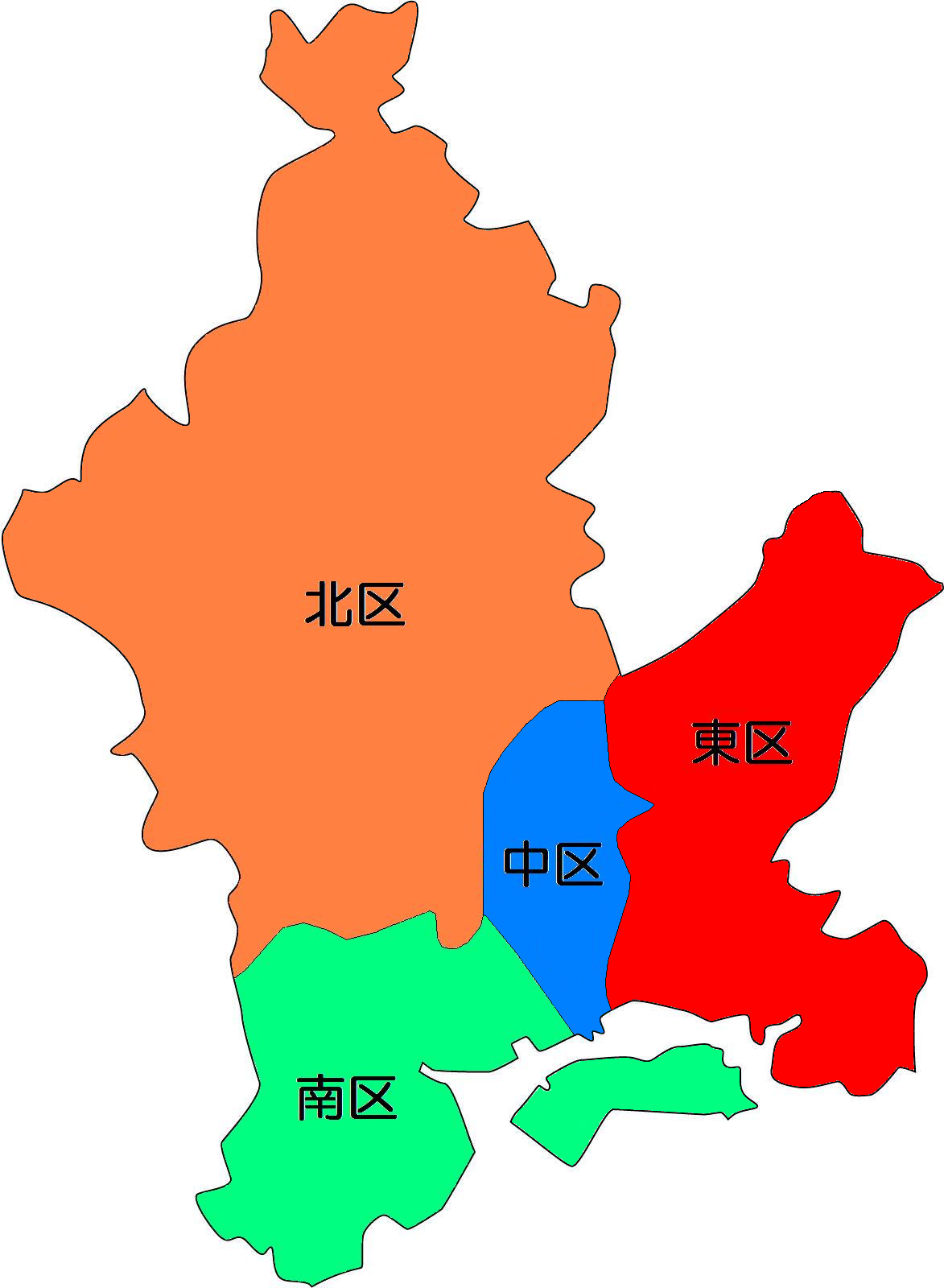
日本語: 岡山市の行政区地図 |
| Date | |
| Source | [1]の白地図に区名を追記 |
| Author | Nakanic2 |
| Permission (Reusing this file) |
下記参照 |
| I, the copyright holder of this work, release this work into the public domain. This applies worldwide. In some countries this may not be legally possible; if so: I grant anyone the right to use this work for any purpose, without any conditions, unless such conditions are required by law. |
File history
Click on a date/time to view the file as it appeared at that time.
| Date/Time | Thumbnail | Dimensions | User | Comment | |
|---|---|---|---|---|---|
| current | 13:09, 29 September 2009 | | 1,173 × 1,600 (390 KB) | Nakanic2 (talk | contribs) | {{Information |Description= 岡山市の行政区地図 |Source= [http://www.freemap.jp/japan/city_okayama.html]の白地図に区名を追記 |Date= 2009/9/29 |Author= {{利用者:Nakanic2}} |Permission= 下記参照 |other_versions= }} |
You cannot overwrite this file.
File usage on Commons
The following 7 pages use this file:
File usage on other wikis
The following other wikis use this file:
- Usage on ja.wikipedia.org
- Usage on ja.wikivoyage.org
- Usage on tt.wikipedia.org
- Usage on www.wikidata.org