File:Map of the Prairie Region (1880) (3752490152).jpg
Original file (7,050 × 4,131 pixels, file size: 11.07 MB, MIME type: image/jpeg)
Captions
Captions
Summary
[edit]_(3752490152).jpg&action=edit§ion=1)
| Description |
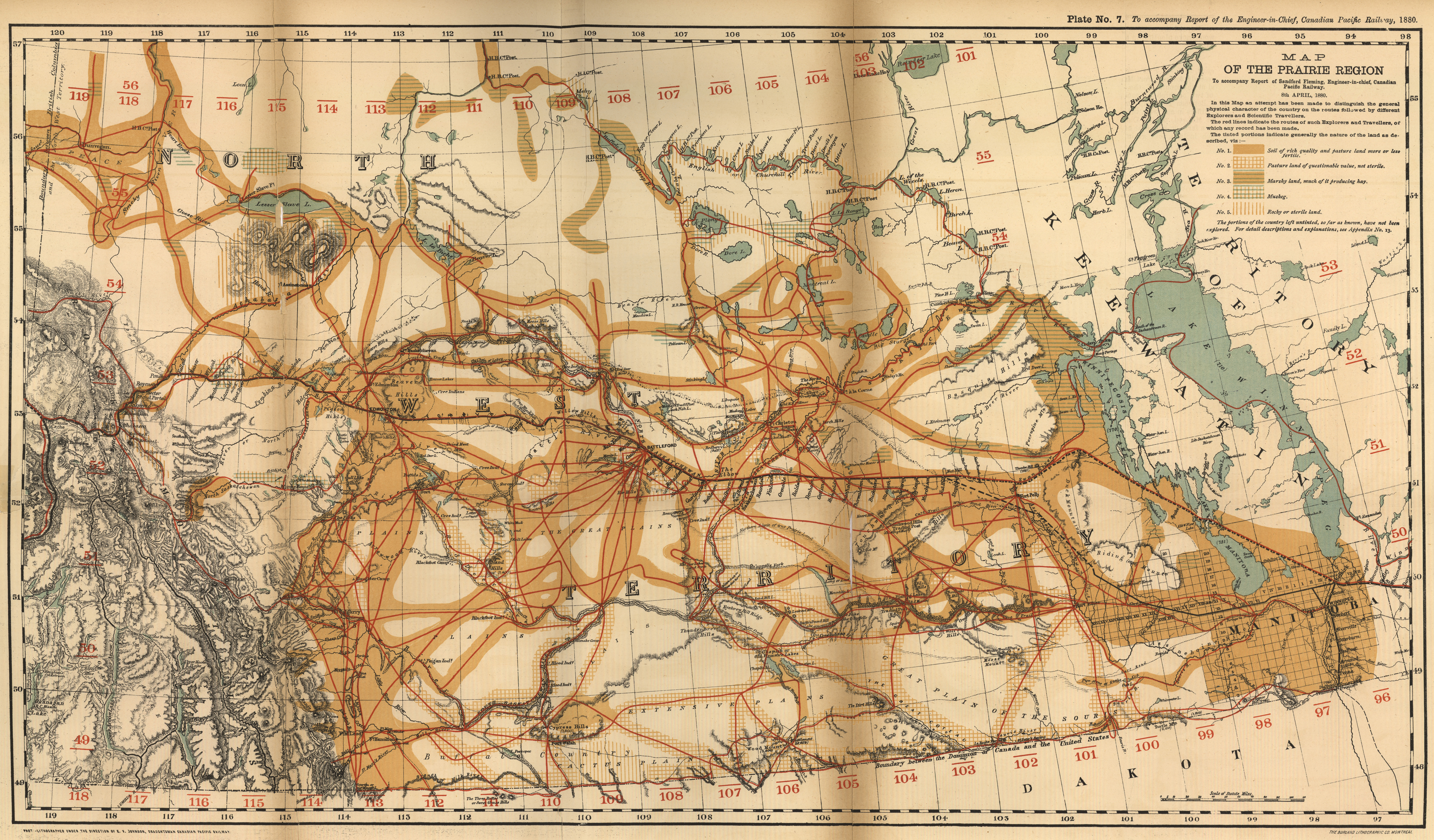
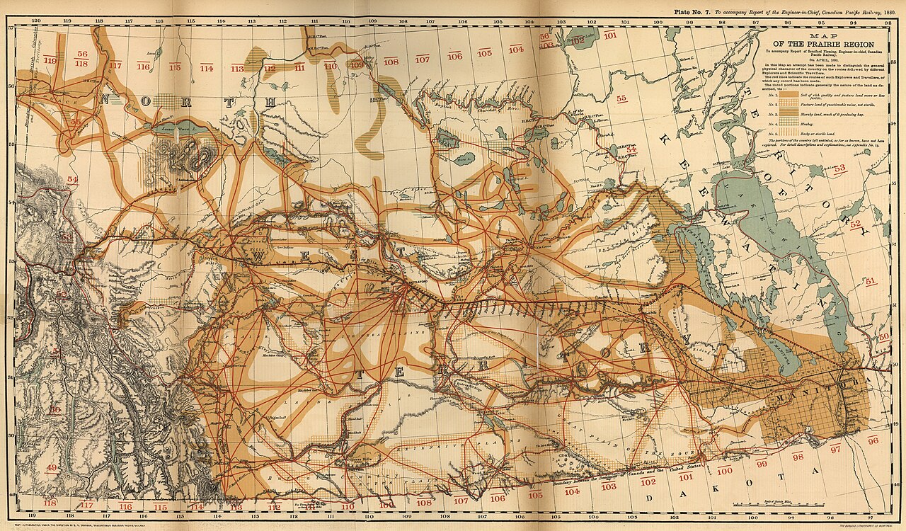
Fleming, Sandford. Map of the Prairie Region [map]. 1:2,977,920. In: Sandford Fleming. Report and Documents in Reference to the Canadian Pacific Railway. Ottawa: Canadian Pacific Railway, 1880, Plate No. 7. To accompany Report of the Engineer-in-Chief, Canadian Pacific Railway, 1880. In this Map an attempt has been made to distinguish the general physical character of the country on the routes followed by different Explorers and Scientific Travellers. The red lines indicate the routes of such Explorers and Travellers, of which any record has been made. The tinted portions indicate generally the nature of the land as described (viz). The CPR surveys comprised the first general evaluation of the prairie lands after the time of Hind and Palliser. In 1871 the first CPR reconnaissance was made of the prairies, and in subsequent years many other surveys were undertaken of this region. The results were published annually in the report of the CPR, and represent a significant store of information on the West. This map shows the routes of many exploratory surveys which had been made of the region to 1880, and it is a useful summary of early travellers’ journeys. The work of Hind and Palliser is incorporated in this map; “Northern Limit of true Prairie Land” is shown, as is the “Southern Limit of the true Forests”. Of particular interest is the classification of lands. “soils of rich quality and pasture land more or less fertile” are shown in the Red and Assiniboine river areas, and below the Escarpment. The southwest Manitoba of today is considered of questionable value, though not sterile. Also, for once, only land which has been visited by travellers, and for which a record is available, is actually evaluated. Other areas are left untinted. The progress of the land survey to 1880 is apparent. (Warkentin and Ruggles. Historical Atlas of Manitoba. map 252, p. 484) Image Courtesy of University of Manitoba : Archives & Special Collections |
| Date | |
| Source | Map of the Prairie Region (1880) |
| Author | Manitoba Historical Maps from Canada |
Licensing
[edit]_(3752490152).jpg&action=edit§ion=2)
- You are free:
- to share – to copy, distribute and transmit the work
- to remix – to adapt the work
- Under the following conditions:
- attribution – You must give appropriate credit, provide a link to the license, and indicate if changes were made. You may do so in any reasonable manner, but not in any way that suggests the licensor endorses you or your use.
| This image was originally posted to Flickr by Historical Maps of Manitoba at https://flickr.com/photos/11496488@N07/3752490152. It was reviewed on 26 December 2021 by FlickreviewR 2 and was confirmed to be licensed under the terms of the cc-by-2.0. |
File history
Click on a date/time to view the file as it appeared at that time.
| Date/Time | Thumbnail | Dimensions | User | Comment | |
|---|---|---|---|---|---|
| current | 21:29, 26 December 2021 | | 7,050 × 4,131 (11.07 MB) | Mindmatrix (talk | contribs) | Transferred from Flickr via #flickr2commons |
You cannot overwrite this file.
File usage on Commons
There are no pages that use this file.
_(3752490152).jpg&oldid=890832070)