File:Map of southeast Attiki.jpg
Jump to navigation
Jump to search
Size of this preview: 434 × 599 pixels. Other resolutions: 174 × 240 pixels | 347 × 480 pixels | 960 × 1,326 pixels.
Original file (960 × 1,326 pixels, file size: 230 KB, MIME type: image/jpeg)
Captions
Captions
Add a one-line explanation of what this file represents
| Description |
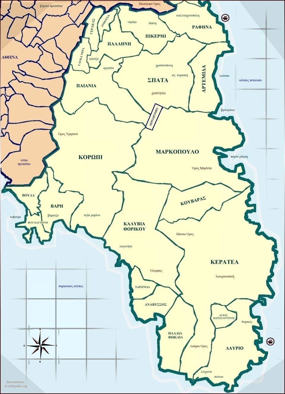
English: Map of southeast Attica Ελληνικά: Το παρόν αποτελεί χάρτη της νοτιοανατολικής Αττικής. |
| Date | |
| Source | Σύνθεση με Photostudio της Arcsoft. |
| Author | Dimorsitanos |
| Permission (Reusing this file) |
Ελεύθερη Χρήση |
Licensing
[edit]

|
The copyright holder of this file allows anyone to use it for any purpose, provided that the copyright holder is properly attributed. Redistribution, derivative work, commercial use, and all other use is permitted. |
|
|
Original upload log
[edit]
Transferred from el.wikipedia to Commons by Ferengi using CommonsHelper.
The original description page was here. All following user names refer to el.wikipedia.
- 2008-06-24 23:35 Dimorsitanos 960×1326× (235136 bytes) {{Πληροφορίες εικόνας |Περιγραφή=Το παρόν αποτελεί χάρτη της νοτιοανατολικής Αττικής. |Πηγή=Σύνθεση με Photostudio της Arcsoft. |Ημερομηνία=25/6/2008 |Δημ
File history
Click on a date/time to view the file as it appeared at that time.
| Date/Time | Thumbnail | Dimensions | User | Comment | |
|---|---|---|---|---|---|
| current | 12:45, 24 April 2009 | | 960 × 1,326 (230 KB) | File Upload Bot (Magnus Manske) (talk | contribs) | {{BotMoveToCommons|el.wikipedia|year={{subst:CURRENTYEAR}}|month={{subst:CURRENTMONTHNAME}}|day={{subst:CURRENTDAY}}}} {{Information |Description={{el|Το παρόν αποτελεί χάρτη της νοτιοανατολικής Αττικής.}} |So |
You cannot overwrite this file.
File usage on Commons
There are no pages that use this file.