File:Map of northern Rome, Piazza del Popolo, by Nolli.jpg
Jump to navigation
Jump to search

Size of this preview: 598 × 599 pixels. Other resolutions: 239 × 240 pixels | 479 × 480 pixels | 766 × 768 pixels | 1,022 × 1,024 pixels | 1,664 × 1,668 pixels.
Original file (1,664 × 1,668 pixels, file size: 1.33 MB, MIME type: image/jpeg)
Captions
Captions
Add a one-line explanation of what this file represents
Summary
[edit]
| Description |
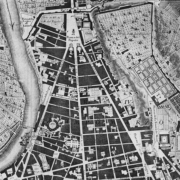
Deutsch: Karte des nördlichen Roms |
| Date | between circa 1692 and circa 1756 |
| Source |
|
| Creator | |
| Georeferencing | If inappropriate please set warp_status = skip to hide. |
Licensing
[edit]
|
This work is in the public domain in its country of origin and other countries and areas where the copyright term is the author's life plus 70 years or fewer. | |
| This file has been identified as being free of known restrictions under copyright law, including all related and neighboring rights. | |
Original upload log
[edit]
| date/time | username | edit summary |
|---|---|---|
| 15:36, 29. Mär 2005 | Maus-Trauden | |
| 15:33, 29. Mär 2005 | Maus-Trauden | (Karte des nördlichen Roms) |
File history
Click on a date/time to view the file as it appeared at that time.
| Date/Time | Thumbnail | Dimensions | User | Comment | |
|---|---|---|---|---|---|
| current | 22:37, 20 April 2006 | | 1,664 × 1,668 (1.33 MB) | Crux (talk | contribs) | This image was copied from wikipedia:de. The original description was: Karte des nördlichen Roms Quelle: La nuova topografia di Roma Comasco von Giambattista Nolli, ca. 1692-1756 {{PD-old}} {| border="1" ! date/time || username || edit summary |---- |
You cannot overwrite this file.
File usage on Commons
The following 2 pages use this file:
File usage on other wikis
The following other wikis use this file:
- Usage on br.wikipedia.org
- Usage on de.wikipedia.org
- Usage on eu.wikipedia.org
- Usage on fr.wikipedia.org
- Usage on he.wikipedia.org
- Usage on it.wikipedia.org
- Usage on ru.wikipedia.org
- Usage on sh.wikipedia.org
- Usage on sv.wikipedia.org
- Usage on uk.wikipedia.org