File:Map of north Crete road network.jpg
Jump to navigation
Jump to search

Size of this preview: 800 × 295 pixels. Other resolutions: 320 × 118 pixels | 640 × 236 pixels | 1,024 × 378 pixels | 2,124 × 784 pixels.
Original file (2,124 × 784 pixels, file size: 414 KB, MIME type: image/jpeg)
Captions
Captions
Add a one-line explanation of what this file represents
Summary
[edit]
| Description |
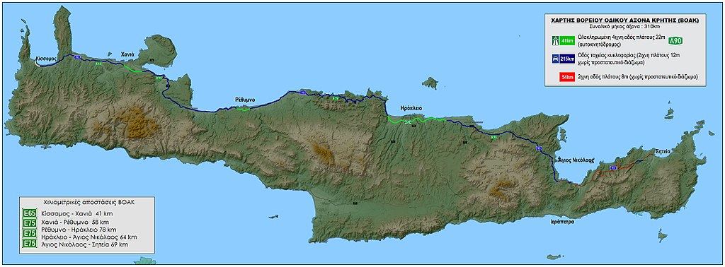
English: Map of north Crete road network Ελληνικά: Αναλυτικός χάρτης Βόρειου Οδικού Άξονα Κρήτης 2015 |
| Date | |
| Source | Own work by the original uploader |
| Author | Ιωάννης Κρητικάκης (Yianniskriti ) |
Licensing
[edit]

|
The copyright holder of this file allows anyone to use it for any purpose, provided that the copyright holder is properly attributed. Redistribution, derivative work, commercial use, and all other use is permitted. |
|
|
Original upload log
[edit]
The original description page was here. All following user names refer to el.wikipedia.
| Date/Time | Dimensions | User | Comment |
|---|---|---|---|
| 2014-12-29 10:03 | 2124×784× (423511 bytes) | Yianniskriti | {{Πληροφορίες εικόνας Αναλυτικός χάρτης Βόρειου Οδικού Άξονα Κρήτης 2015 |Περιγραφή= Αναλυτικός χάρτης Βόρειου Οδικού Άξονα Κρήτης 2015 |Πηγή... |
File history
Click on a date/time to view the file as it appeared at that time.
| Date/Time | Thumbnail | Dimensions | User | Comment | |
|---|---|---|---|---|---|
| current | 14:26, 10 February 2018 | 2,124 × 784 (414 KB) | MARKELLOS (talk | contribs) | Transferred from el.wikipedia |
You cannot overwrite this file.
File usage on Commons
There are no pages that use this file.