File:Map of municipalities of Colombia 2007.svg
Jump to navigation
Jump to search

Size of this PNG preview of this SVG file: 506 × 600 pixels. Other resolutions: 202 × 240 pixels | 405 × 480 pixels | 648 × 768 pixels | 864 × 1,024 pixels | 1,727 × 2,048 pixels | 512 × 607 pixels.
Original file (SVG file, nominally 512 × 607 pixels, file size: 3.01 MB)
Captions
Captions
Add a one-line explanation of what this file represents
Summary
[edit]
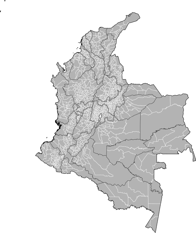
| Description | Map of the municipalities of Colombia. Created by Rarelibra 15:39, 23 October 2007 (UTC) for public domain use, using MapInfo Professional v8.5 and various mapping resources. NOTE: Map includes the localidades of Bogota. |
| Date | 23 October 2007 (original upload date) |
| Source | No machine-readable source provided. Own work assumed (based on copyright claims). |
| Author | No machine-readable author provided. Rarelibra assumed (based on copyright claims). |
Licensing
[edit]
| I, the copyright holder of this work, release this work into the public domain. This applies worldwide. In some countries this may not be legally possible; if so: I grant anyone the right to use this work for any purpose, without any conditions, unless such conditions are required by law. |
File history
Click on a date/time to view the file as it appeared at that time.
| Date/Time | Thumbnail | Dimensions | User | Comment | |
|---|---|---|---|---|---|
| current | 20:59, 4 February 2013 | | 512 × 607 (3.01 MB) | Milenioscuro (talk | contribs) | correction of some departmental borders |
| 22:51, 21 February 2012 |  | 512 × 607 (3 MB) | Milenioscuro (talk | contribs) | added locator, thick lines | |
| 22:38, 21 February 2012 |  | 512 × 607 (2.96 MB) | Milenioscuro (talk | contribs) | added new municipalities, larger size | |
| 18:53, 24 October 2007 |  | 512 × 323 (2.47 MB) | Rarelibra (talk | contribs) | corrected version - thank you to User Bogomolov for pointing out the error! | |
| 15:39, 23 October 2007 |  | 512 × 324 (2.42 MB) | Rarelibra (talk | contribs) | Map of the municipalities of Colombia. Created by ~~~~ for public domain use, using MapInfo Professional v8.5 and various mapping resources. |
You cannot overwrite this file.
File usage on Commons
The following page uses this file:
- File:Colombia municipalities.svg (file redirect)
File usage on other wikis
The following other wikis use this file:
- Usage on fr.wikipedia.org