File:Map of Virginia highlighting no county.svg
Jump to navigation
Jump to search

Size of this PNG preview of this SVG file: 748 × 324 pixels. Other resolutions: 320 × 139 pixels | 640 × 277 pixels | 1,024 × 444 pixels | 1,280 × 554 pixels | 2,560 × 1,109 pixels.
Original file (SVG file, nominally 748 × 324 pixels, file size: 237 KB)
Captions
Captions
Add a one-line explanation of what this file represents
| Description |
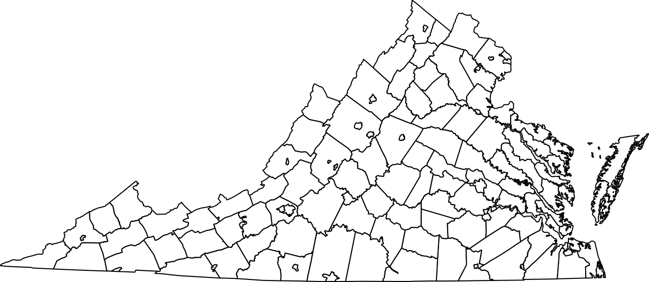
English: This is a locator map showing all cities and counties in Virginia. For more information, see Commons:United States county locator maps. |
||
| Date | |||
| Source | Provided by uploader after cleaning up problems with File:Map of Virginia highlighting Bath County.svg | ||
| Author | Goran tek-en | ||
| Permission (Reusing this file) |
|
||
| SVG development |
File history
Click on a date/time to view the file as it appeared at that time.
| Date/Time | Thumbnail | Dimensions | User | Comment | |
|---|---|---|---|---|---|
| current | 13:30, 1 January 2018 | | 748 × 324 (237 KB) | Nyttend (talk | contribs) | {{Information |Description={{en|This is a locator map showing all cities and counties in Virginia. For more information, see Commons:United States county locator maps.}} |Source=[https://en.wikipedia.org/w/index.php?diff=818082976 Provided by uploa... |
You cannot overwrite this file.
File usage on Commons
There are no pages that use this file.