File:Map of Tennessee State Route 49.png
Jump to navigation
Jump to search

Size of this preview: 800 × 456 pixels. Other resolutions: 320 × 182 pixels | 841 × 479 pixels.
Original file (841 × 479 pixels, file size: 68 KB, MIME type: image/png)
Captions
Captions
Add a one-line explanation of what this file represents
Summary
[edit]
| Description |
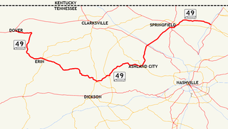
English: This is a map of Tennessee State Route 49, created by myself. |
| Date | |
| Source | Own work |
| Author | Patricius Augustus (my Wikipedia user page) |
Licensing
[edit]
I, the copyright holder of this work, hereby publish it under the following license:
| This file is made available under the Creative Commons CC0 1.0 Universal Public Domain Dedication. | |
| The person who associated a work with this deed has dedicated the work to the public domain by waiving all of their rights to the work worldwide under copyright law, including all related and neighboring rights, to the extent allowed by law. You can copy, modify, distribute and perform the work, even for commercial purposes, all without asking permission.
|
File history
Click on a date/time to view the file as it appeared at that time.
| Date/Time | Thumbnail | Dimensions | User | Comment | |
|---|---|---|---|---|---|
| current | 22:07, 11 October 2012 | | 841 × 479 (68 KB) | Patricius Augustus (talk | contribs) | User created page with UploadWizard |
You cannot overwrite this file.
File usage on Commons
The following page uses this file:
File usage on other wikis
The following other wikis use this file:
- Usage on www.wikidata.org