File:Map of Takashima in Tokushima.png
Jump to navigation
Jump to search
No higher resolution available.
Map_of_Takashima_in_Tokushima.png (422 × 336 pixels, file size: 162 KB, MIME type: image/png)
Captions
Captions
Add a one-line explanation of what this file represents
Summary
[edit]
| Description |
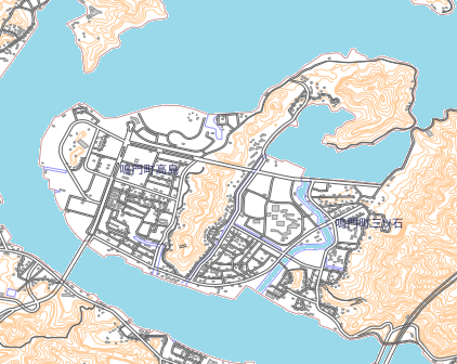
日本語: 徳島県鳴門市高島の地図 |
| Date | |
| Source | https://aginfo.cgk.affrc.go.jp/mapprv/mapext.html.ja 農研機構 |
| Author | Krorokeroro (talk · contribs) が農研機構を加工して作成 |
Licensing
[edit]
This file is licensed under the Creative Commons Attribution 4.0 International license.
- You are free:
- to share – to copy, distribute and transmit the work
- to remix – to adapt the work
- Under the following conditions:
- attribution – You must give appropriate credit, provide a link to the license, and indicate if changes were made. You may do so in any reasonable manner, but not in any way that suggests the licensor endorses you or your use.
File history
Click on a date/time to view the file as it appeared at that time.
| Date/Time | Thumbnail | Dimensions | User | Comment | |
|---|---|---|---|---|---|
| current | 07:07, 10 April 2019 | | 422 × 336 (162 KB) | Krorokeroro (talk | contribs) | 小鳴門橋と神戸淡路鳴門自動車道の間の海水部分を着色 |
| 06:46, 10 April 2019 |  | 422 × 336 (154 KB) | Krorokeroro (talk | contribs) | User created page with UploadWizard |
You cannot overwrite this file.
File usage on Commons
The following page uses this file:
File usage on other wikis
The following other wikis use this file: