File:Map of Stevens County - north half - mining and topographical LOC 2012593139.jpg
Jump to navigation
Jump to search

Size of this preview: 800 × 595 pixels. Other resolutions: 320 × 238 pixels | 640 × 476 pixels | 1,024 × 761 pixels | 1,280 × 952 pixels | 2,560 × 1,904 pixels | 14,041 × 10,441 pixels.
Original file (14,041 × 10,441 pixels, file size: 18.1 MB, MIME type: image/jpeg)
Captions
Captions
Add a one-line explanation of what this file represents
Summary
[edit]| Warning | The original file is very high-resolution. It might not load properly or could cause your browser to freeze when opened at full size. |
|---|
| Description |
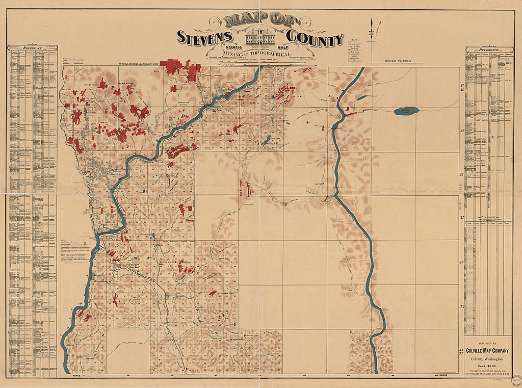
English: Shows names of some residents. Relief shown by shading. "Copyright ... by Colville Map Co." Mounted on paper and enclosed in mylar. Includes list to references. LC Land ownership maps, 1377 Available also through the Library of Congress Web site as a raster image. |
||
| Title | Map of Stevens County : north half : mining and topographical | ||
| Shelf ID | G4283.S8G46 1900 .C6 | ||
| Date | |||
| Source | https://www.loc.gov/item/2012593139/ | ||
| Author | Colville Map Co. | ||
| Permission (Reusing this file) |
|
||
| Other versions |
|
||
| Location | United States · Stevens County. · Washington (State) · Washington · United States · Stevens County · Washington (State) | ||
| Part of | American Memory · Catalog · County Landownership Maps · Geography And Map Division · Cultural Landscapes | ||
| Subject | Cadastral Maps · Stevens County (Wash.) · Washington (State) · United States · Maps · Stevens County · Real Property · Landowners |


Licensing
[edit]
|
This is a faithful photographic reproduction of a two-dimensional, public domain work of art. The work of art itself is in the public domain for the following reason:
The official position taken by the Wikimedia Foundation is that "faithful reproductions of two-dimensional public domain works of art are public domain".
This photographic reproduction is therefore also considered to be in the public domain in the United States. In other jurisdictions, re-use of this content may be restricted; see Reuse of PD-Art photographs for details. | ||||
File history
Click on a date/time to view the file as it appeared at that time.
| Date/Time | Thumbnail | Dimensions | User | Comment | |
|---|---|---|---|---|---|
| current | 10:39, 3 June 2018 | | 14,041 × 10,441 (18.1 MB) | Fæ (talk | contribs) | LOC Maps https://www.loc.gov/item/2012593139/ #18771 |
You cannot overwrite this file.
File usage on Commons
The following page uses this file: