File:Map of South Dakota highlighting Perkins County.svg
Jump to navigation
Jump to search

Size of this PNG preview of this SVG file: 800 × 492 pixels. Other resolutions: 320 × 197 pixels | 640 × 394 pixels | 1,024 × 630 pixels | 1,280 × 788 pixels | 2,560 × 1,576 pixels | 1,779 × 1,095 pixels.
Original file (SVG file, nominally 1,779 × 1,095 pixels, file size: 39 KB)
Captions
Captions
Add a one-line explanation of what this file represents
Summary
[edit]
| Description |
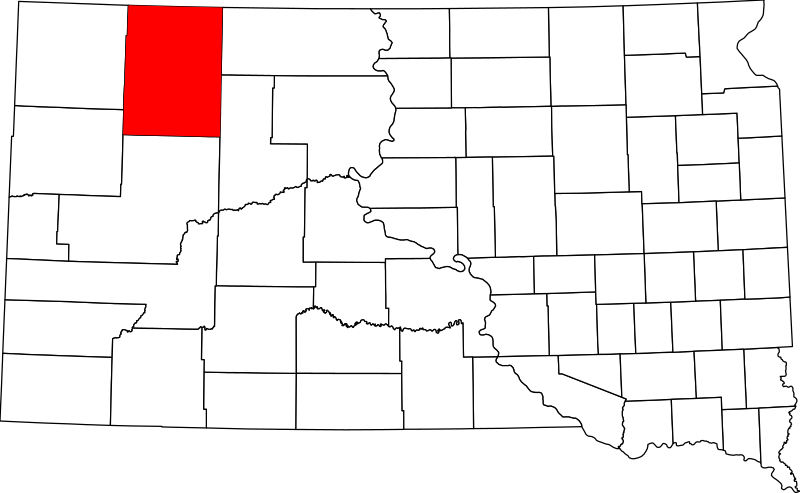
English: This is a locator map showing Perkins County in South Dakota. For more information, see Commons:United States county locator maps. |
| Date | |
| Source |
Own work: English: The maps use data from nationalatlas.gov, specifically countyp020.tar.gz on the Raw Data Download page. The maps also use state outline data from statesp020.tar.gz. The Florida maps use hydrogm020.tar.gz to display Lake Okeechobee. |
| Author | David Benbennick |
Licensing
[edit]
| I, the copyright holder of this work, release this work into the public domain. This applies worldwide. In some countries this may not be legally possible; if so: I grant anyone the right to use this work for any purpose, without any conditions, unless such conditions are required by law. |
File history
Click on a date/time to view the file as it appeared at that time.
| Date/Time | Thumbnail | Dimensions | User | Comment | |
|---|---|---|---|---|---|
| current | 15:53, 25 June 2024 | | 1,779 × 1,095 (39 KB) | Nux (talk | contribs) | uniform colors with good contrast |
| 18:56, 19 June 2024 |  | 1,779 × 1,095 (39 KB) | Nux (talk | contribs) | fix rendering (remove clipping) | |
| 16:30, 12 February 2006 |  | 6,226 × 3,832 (47 KB) | David Benbennick (talk | contribs) | {{subst:User:Dbenbenn/clm|county=Perkins County|state=South Dakota|type=county}} |
You cannot overwrite this file.
File usage on Commons
The following 2 pages use this file:
File usage on other wikis
The following other wikis use this file:
- Usage on ar.wikipedia.org
- Usage on bg.wikipedia.org
- Usage on bpy.wikipedia.org
- Usage on cdo.wikipedia.org
- Usage on ceb.wikipedia.org
- Usage on ce.wikipedia.org
- Usage on cy.wikipedia.org
- Usage on de.wikipedia.org
- Usage on en.wikipedia.org
- List of counties in South Dakota
- Perkins County, South Dakota
- Bison, South Dakota
- Lemmon, South Dakota
- Ada Township, Perkins County, South Dakota
- Lodgepole, South Dakota
- Meadow, South Dakota
- Prairie City, South Dakota
- Turtle Mountain Indian Reservation
- Template:Perkins County, South Dakota
- User:Nyttend/County templates/SD
- Lincoln Township, Perkins County, South Dakota
- National Register of Historic Places listings in Perkins County, South Dakota
- Category:Populated places in Perkins County, South Dakota
- Bixby, South Dakota
- Cash Township, Perkins County, South Dakota
- Chance, South Dakota
- Coal Springs, South Dakota
- Date, South Dakota
- Ellingson, South Dakota
- Imogene, South Dakota
- Shadehill, South Dakota
- Sorum, South Dakota
- Strool, South Dakota
- Usta, South Dakota
- White Butte, South Dakota
- Zeona, South Dakota
- Burdick Township, Perkins County, South Dakota
- Bison Township, Perkins County, South Dakota
- Beck-Highland Township, Perkins County, South Dakota
- Barrett Township, Perkins County, South Dakota
- Antelope Township, Perkins County, South Dakota
- Anderson Township, Perkins County, South Dakota
- Castle Butte Township, Perkins County, South Dakota
View more global usage of this file.