File:Map of Shimizu within the Tokachi Subprefecture.svg

Original file (SVG file, nominally 409 × 598 pixels, file size: 8 KB)
Captions
Captions
Summary
[edit]
| Description |
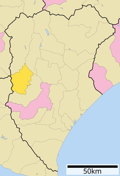
English: map of shimizu
|
||
| Date | 更新:2009年10月5日 | ||
| Source |
|
||
| Author | Lincun | ||
| Permission (Reusing this file) |
|
Licensing
[edit]

|
Permission is granted to copy, distribute and/or modify this document under the terms of the GNU Free Documentation License, Version 1.2 or any later version published by the Free Software Foundation; with no Invariant Sections, no Front-Cover Texts, and no Back-Cover Texts. A copy of the license is included in the section entitled GNU Free Documentation License. |
- You are free:
- to share – to copy, distribute and transmit the work
- to remix – to adapt the work
- Under the following conditions:
- attribution – You must give appropriate credit, provide a link to the license, and indicate if changes were made. You may do so in any reasonable manner, but not in any way that suggests the licensor endorses you or your use.
- share alike – If you remix, transform, or build upon the material, you must distribute your contributions under the same or compatible license as the original.
Original upload log
[edit]
- 2009-10-04 04:27 Lincun 409×598× (7938 bytes) {{基礎自治体位置図画像情報|北海道|清水町|20091005}}
- 2007-11-11 09:17 Lincun 800×872× (46035 bytes) {{基礎自治体位置図画像情報|北海道|清水町}}
| This file was moved from Japanese Wikipedia.
See below for original file information. | ||||||||||||||||||||||||||||||||||||
| ||||||||||||||||||||||||||||||||||||
|
| ||||||||||||||||||||||||||||||||||||
File history
Click on a date/time to view the file as it appeared at that time.
| Date/Time | Thumbnail | Dimensions | User | Comment | |
|---|---|---|---|---|---|
| current | 09:58, 23 February 2011 | | 409 × 598 (8 KB) | Hokkaido-man (talk | contribs) | {{Information |Description=map of shimizu |Source=http://ja.wikipedia.org/wiki/%E6%B8%85%E6%B0%B4%E7%94%BA_(%E5%8C%97%E6%B5%B7%E9%81%93) |Date=2011 |Author=Lincun |Permission={{cc-by}} Creative Commons Attribution ShareAlike 3.0 Unported License. |other_ |
| 04:27, 4 October 2009 |  | 409 × 598 (8 KB) | Lincun (talk | contribs) | {{基礎自治体位置図画像情報|北海道|清水町|20091005}} | |
| 09:17, 11 November 2007 |  | 800 × 872 (45 KB) | Lincun (talk | contribs) | {{基礎自治体位置図画像情報|北海道|清水町}} |
You cannot overwrite this file.
File usage on Commons
The following page uses this file:
- File:基礎自治体位置図 01636.svg (file redirect)
File usage on other wikis
The following other wikis use this file:
- Usage on ja.wikipedia.org
- Usage on sv.wikipedia.org
- Usage on zh.wikipedia.org