File:Map of Saga Prefecture Ja.svg

Original file (SVG file, nominally 599 × 599 pixels, file size: 69 KB)
Captions
Captions
Summary
[edit]
| Description |
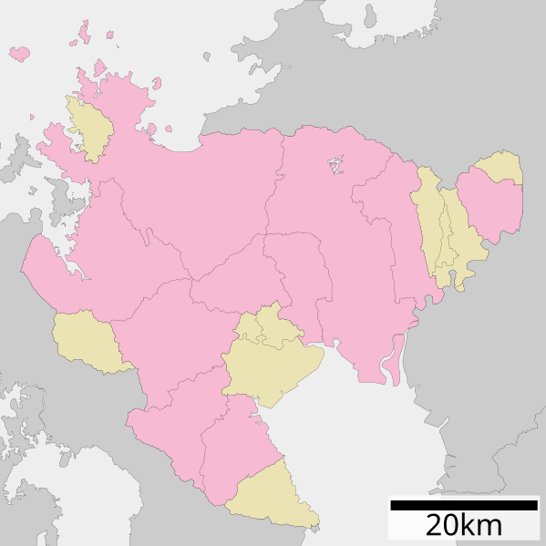
English: Maps of Saga Prefecture, Japan.
日本語: 佐賀県区画図 |
||
| Date | |||
| Source |
|
||
| Author | Lincun | ||
| Permission (Reusing this file) |
|
||
| SVG development | This locator map uses embedded text/digits. |
Licensing
[edit]

|
Permission is granted to copy, distribute and/or modify this document under the terms of the GNU Free Documentation License, Version 1.2 or any later version published by the Free Software Foundation; with no Invariant Sections, no Front-Cover Texts, and no Back-Cover Texts. A copy of the license is included in the section entitled GNU Free Documentation License. |
- You are free:
- to share – to copy, distribute and transmit the work
- to remix – to adapt the work
- Under the following conditions:
- attribution – You must give appropriate credit, provide a link to the license, and indicate if changes were made. You may do so in any reasonable manner, but not in any way that suggests the licensor endorses you or your use.
- share alike – If you remix, transform, or build upon the material, you must distribute your contributions under the same or compatible license as the original.
Original upload log
[edit]
| This file was moved from Japanese Wikipedia.
See below for original file information. | ||||||||||||||||||||||||||||
| ||||||||||||||||||||||||||||
|
| ||||||||||||||||||||||||||||
File history
Click on a date/time to view the file as it appeared at that time.
| Date/Time | Thumbnail | Dimensions | User | Comment | |
|---|---|---|---|---|---|
| current | 10:26, 19 January 2023 | | 599 × 599 (69 KB) | Maanshen (talk | contribs) | Optimized |
| 10:21, 19 January 2023 |  | 599 × 599 (95 KB) | Maanshen (talk | contribs) | Completely revamped borders | |
| 04:37, 4 December 2020 |  | 317 × 317 (23 KB) | AichiWikiFixer (talk | contribs) | Update borders and fixes. | |
| 04:10, 1 December 2013 |  | 515 × 520 (19 KB) | ニンジンシチュー (talk | contribs) | デザイン変更 | |
| 04:09, 1 December 2013 |  | 515 × 520 (19 KB) | ニンジンシチュー (talk | contribs) | デザイン変更 | |
| 13:15, 25 May 2009 |  | 520 × 592 (11 KB) | Monaneko (talk | contribs) | {{Information |Description={{en|1=Maps of Saga Prefecture, Japan.}} {{ja|1=佐賀県の地図}} |Source=ja:File:包括自治体区画図 41000.svg |Author=ja:User:Lincun |Date=2007-10-08 13:08 (UTC) |Permission=GFDL |other_versions= }} <!--{{Im | |
| 13:08, 8 October 2007 |  | 520 × 592 (11 KB) | Lincun (talk | contribs) | {{基礎自治体位置図画像情報|佐賀県|}} |
You cannot overwrite this file.
File usage on Commons
The following 2 pages use this file:
- Maps of Saga prefecture
- File:包括自治体区画図 41000.svg (file redirect)
File usage on other wikis
The following other wikis use this file:
- Usage on en.wikipedia.org
- Usage on hu.wikipedia.org
- Usage on ja.wikipedia.org
- 佐賀県
- 鳥栖スタジアム
- 玄海原子力発電所
- 佐賀空港
- 佐賀県の廃止市町村一覧
- 佐賀県立香楠中学校・鳥栖高等学校
- 吉野ヶ里遺跡
- 岸岳城
- 佐賀県立鹿島実業高等学校
- 祐徳稲荷神社
- 鏡山 (佐賀県)
- 佐賀城
- 名護屋城
- 唐津城
- 虹の松原
- 経ヶ岳 (佐賀県・長崎県)
- 佐賀清和中学校・高等学校
- 佐賀県立塩田工業高等学校
- 佐賀県立高志館高等学校
- 佐賀県立佐賀東高等学校
- 佐賀県立三養基高等学校
- 佐賀県立多久高等学校
- 敬徳高等学校
- 佐賀県立佐賀農業高等学校
- 佐賀県立鳥栖工業高等学校
- 佐賀県立鳥栖商業高等学校
- 佐賀県立牛津高等学校
- 東明館中学校・高等学校
- 蛤岳
- 佐賀県立伊万里商業高等学校
- 佐賀県立伊万里農林高等学校
- 佐賀県立唐津南高等学校
- 佐賀県立唐津商業高等学校
- 九千部山
- 目達原駐屯地
- 日の隈山
- 佐賀県立小城高等学校
- 與止日女神社
- 大野島
- 佐賀県立神埼清明高等学校
- 佐賀県立太良高等学校
- 千栗八幡宮
- 雷山
- 八幡岳 (佐賀県)
- 作礼山 (佐賀県)
- 十坊山
- 衣干山
- 佐嘉神社
View more global usage of this file.