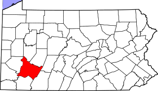
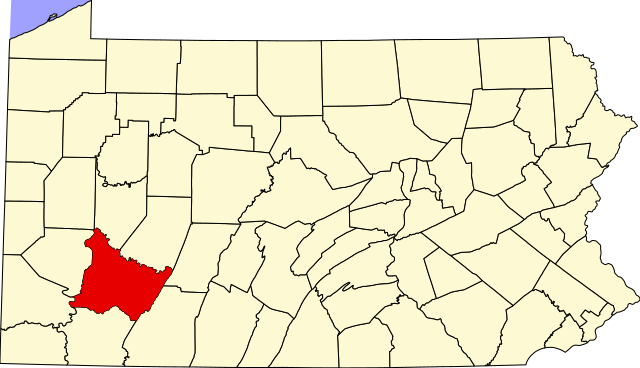
File:Map of Pennsylvania highlighting Westmoreland County.svg
Jump to navigation
Jump to search

Size of this PNG preview of this SVG file: 800 × 460 pixels. Other resolutions: 320 × 184 pixels | 640 × 368 pixels | 1,024 × 589 pixels | 1,280 × 736 pixels | 2,560 × 1,471 pixels | 1,980 × 1,138 pixels.
Original file (SVG file, nominally 1,980 × 1,138 pixels, file size: 96 KB)
Captions
Captions
Add a one-line explanation of what this file represents
Summary
[edit]
| Description |
|
| Date | 12 February 2006 (original upload date) |
| Source | No machine-readable source provided. Own work assumed (based on copyright claims). |
| Author | No machine-readable author provided. David Benbennick assumed (based on copyright claims). |
| SVG development |
Licensing
[edit]
| I, the copyright holder of this work, release this work into the public domain. This applies worldwide. In some countries this may not be legally possible; if so: I grant anyone the right to use this work for any purpose, without any conditions, unless such conditions are required by law. |
File history
Click on a date/time to view the file as it appeared at that time.
| Date/Time | Thumbnail | Dimensions | User | Comment | |
|---|---|---|---|---|---|
| current | 10:43, 25 June 2024 | | 1,980 × 1,138 (96 KB) | Nux (talk | contribs) | fix rendering (remove clipping) |
| 16:23, 12 February 2006 |  | 4,950 × 2,846 (106 KB) | David Benbennick (talk | contribs) | {{subst:User:Dbenbenn/clm|county=Westmoreland County|state=Pennsylvania|type=county}} |
You cannot overwrite this file.
File usage on Commons
The following 10 pages use this file:
- Category:Births in Westmoreland County, Pennsylvania
- Category:Bridges in Westmoreland County, Pennsylvania
- Category:Deaths in Westmoreland County, Pennsylvania
- Category:Education in Westmoreland County, Pennsylvania
- Category:Five Star Trail
- Category:History of Westmoreland County, Pennsylvania
- Category:Maps of Westmoreland County, Pennsylvania
- Category:People of Westmoreland County, Pennsylvania
- Category:Populated places in Westmoreland County, Pennsylvania
- Category:Westmoreland County, Pennsylvania
File usage on other wikis
The following other wikis use this file:
- Usage on ar.wikipedia.org
- مقاطعة ويستمورلاند (بنسيلفانيا)
- أرنولد
- غرينسبورج
- جانيت
- لاتروب
- لور بوريل
- نيو كنسينغتون
- فاندرغريفت (بنسيلفانيا)
- قالب:مقاطعة ويستمورلاند (بنسيلفانيا)
- سميثتون (بنسيلفانيا)
- هونكر (بنسيلفانيا)
- يونغوود (بنسيلفانيا)
- آدامزبرغ (بنسيلفانيا)
- بن (بنسيلفانيا)
- أوكلاهوما (بنسيلفانيا)
- أفونمور (بنسيلفانيا)
- مسار الخمس نجوم
- Usage on bg.wikipedia.org
- Usage on bpy.wikipedia.org
- Usage on cdo.wikipedia.org
- Usage on ceb.wikipedia.org
- Usage on cy.wikipedia.org
- Usage on de.wikipedia.org
- Usage on en.wikipedia.org
- Latrobe, Pennsylvania
- List of counties in Pennsylvania
- Westmoreland County, Pennsylvania
- Adamsburg, Pennsylvania
- Allegheny Township, Westmoreland County, Pennsylvania
- Arnold, Pennsylvania
- Arona, Pennsylvania
- Avonmore, Pennsylvania
- Bell Township, Westmoreland County, Pennsylvania
- Bolivar, Pennsylvania
- Calumet-Norvelt, Pennsylvania
- Cook Township, Westmoreland County, Pennsylvania
- Crabtree, Pennsylvania
- Delmont, Pennsylvania
- Derry, Pennsylvania
View more global usage of this file.