File:Map of Pennsylvania highlighting Elk County.svg
Jump to navigation
Jump to search

Size of this PNG preview of this SVG file: 800 × 460 pixels. Other resolutions: 320 × 184 pixels | 640 × 368 pixels | 1,024 × 589 pixels | 1,280 × 736 pixels | 2,560 × 1,471 pixels | 1,980 × 1,138 pixels.
Original file (SVG file, nominally 1,980 × 1,138 pixels, file size: 96 KB)
Captions
Captions
Add a one-line explanation of what this file represents
Summary
[edit]
| Description |
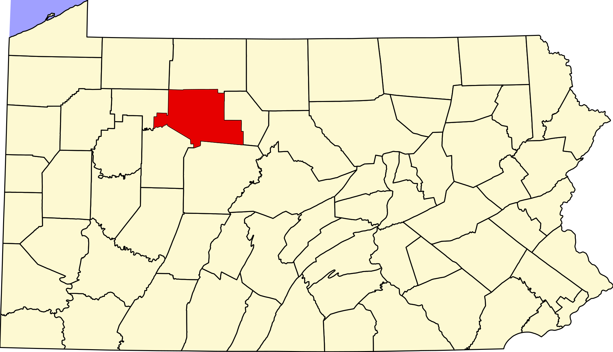
English: This is a locator map showing Elk County in Pennsylvania. For more information, see Commons:United States county locator maps. |
| Date | |
| Source |
Own work: English: The maps use data from nationalatlas.gov, specifically countyp020.tar.gz on the Raw Data Download page. The maps also use state outline data from statesp020.tar.gz. The Florida maps use hydrogm020.tar.gz to display Lake Okeechobee. |
| Author | David Benbennick |
| SVG development |
Licensing
[edit]
| I, the copyright holder of this work, release this work into the public domain. This applies worldwide. In some countries this may not be legally possible; if so: I grant anyone the right to use this work for any purpose, without any conditions, unless such conditions are required by law. |
File history
Click on a date/time to view the file as it appeared at that time.
| Date/Time | Thumbnail | Dimensions | User | Comment | |
|---|---|---|---|---|---|
| current | 10:33, 25 June 2024 | | 1,980 × 1,138 (96 KB) | Nux (talk | contribs) | fix rendering (remove clipping) |
| 16:21, 12 February 2006 |  | 4,950 × 2,846 (106 KB) | David Benbennick (talk | contribs) | {{subst:User:Dbenbenn/clm|county=Elk County|state=Pennsylvania|type=county}} |
You cannot overwrite this file.
File usage on Commons
The following 2 pages use this file:
File usage on other wikis
The following other wikis use this file:
- Usage on ar.wikipedia.org
- Usage on bg.wikipedia.org
- Usage on bpy.wikipedia.org
- Usage on cdo.wikipedia.org
- Usage on ceb.wikipedia.org
- Usage on ce.wikipedia.org
- Usage on cy.wikipedia.org
- Usage on de.wikipedia.org
- Usage on en.wikipedia.org
- List of counties in Pennsylvania
- Elk County, Pennsylvania
- Benezette Township, Pennsylvania
- Fox Township, Elk County, Pennsylvania
- Highland Township, Elk County, Pennsylvania
- Horton Township, Elk County, Pennsylvania
- Jay Township, Elk County, Pennsylvania
- Johnsonburg, Pennsylvania
- Jones Township, Elk County, Pennsylvania
- Millstone Township, Pennsylvania
- Ridgway, Pennsylvania
- Ridgway Township, Pennsylvania
- Spring Creek Township, Elk County, Pennsylvania
- St. Marys, Pennsylvania
- Template:Elk County, Pennsylvania
- Loleta, Pennsylvania
- User:Ruhrfisch/Frog
- Wilcox, Pennsylvania
- User:Nyttend/County templates/PA/1
- National Register of Historic Places listings in Elk County, Pennsylvania
- List of Pennsylvania state historical markers in Elk County
- James City, Pennsylvania
- Category:Populated places in Elk County, Pennsylvania
- Benzinger Township, Elk County, Pennsylvania
- Brockport, Pennsylvania
- Dagus Mines, Pennsylvania
- Force, Pennsylvania
- Brandy Camp, Pennsylvania
- Toby, Elk County, Pennsylvania
- Coal Hollow, Pennsylvania
- Pigs Ear, Pennsylvania
- Byrnedale, Pennsylvania
- Kersey, Pennsylvania
- Weedville, Pennsylvania
- Benezette, Pennsylvania
- Dahoga, Pennsylvania
- McKinley, Elk County, Pennsylvania
View more global usage of this file.