File:Map of Oregon highlighting Curry County.svg
Jump to navigation
Jump to search

Size of this PNG preview of this SVG file: 800 × 597 pixels. Other resolutions: 320 × 239 pixels | 640 × 477 pixels | 1,024 × 764 pixels | 1,280 × 955 pixels | 2,560 × 1,910 pixels | 1,433 × 1,069 pixels.
Original file (SVG file, nominally 1,433 × 1,069 pixels, file size: 104 KB)
Captions
Captions
Add a one-line explanation of what this file represents
Summary
[edit]
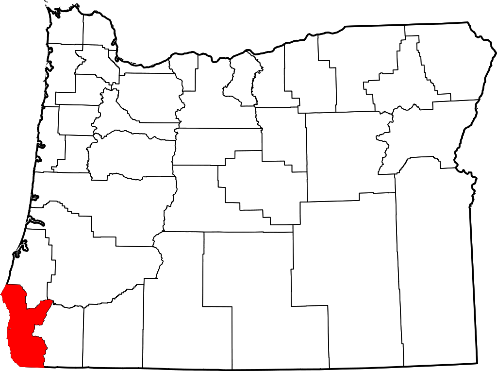
- Locator map of Curry County in southwestern Oregon.
David Benbennick made this map. For more information, see Commons:United States county locator maps.
| I, the copyright holder of this work, release this work into the public domain. This applies worldwide. In some countries this may not be legally possible; if so: I grant anyone the right to use this work for any purpose, without any conditions, unless such conditions are required by law. |
File history
Click on a date/time to view the file as it appeared at that time.
| Date/Time | Thumbnail | Dimensions | User | Comment | |
|---|---|---|---|---|---|
| current | 22:26, 24 June 2024 | | 1,433 × 1,069 (104 KB) | Nux (talk | contribs) | fix rendering (remove clipping) |
| 16:16, 12 February 2006 |  | 6,451 × 4,810 (136 KB) | David Benbennick (talk | contribs) | {{subst:User:Dbenbenn/clm|county=Curry County|state=Oregon|type=county}} |
You cannot overwrite this file.
File usage on Commons
The following 5 pages use this file:
File usage on other wikis
The following other wikis use this file:
- Usage on ar.wikipedia.org
- Usage on bg.wikipedia.org
- Usage on bpy.wikipedia.org
- Usage on ca.wikipedia.org
- Usage on cdo.wikipedia.org
- Usage on ceb.wikipedia.org
- Usage on ce.wikipedia.org
- Usage on cy.wikipedia.org
- Usage on de.wikipedia.org
- Usage on en.wikipedia.org
- List of counties in Oregon
- Curry County, Oregon
- Brookings, Oregon
- Gold Beach, Oregon
- Harbor, Oregon
- Port Orford, Oregon
- Confederated Tribes of Coos, Lower Umpqua and Siuslaw Indians
- Langlois, Oregon
- Agness, Oregon
- Carpenterville, Oregon
- Pistol River, Oregon
- Sixes, Oregon
- Wedderburn, Oregon
- Template:Curry County, Oregon
- Nesika Beach, Oregon
- User:Nyttend/County templates/OR
- Ophir, Oregon
- National Register of Historic Places listings in Curry County, Oregon
- User:Lhammer610/Sandbox
- Ophir Beach
- Barley Beach
- Illahe, Oregon
- Marial, Oregon
- Denmark, Oregon
- Category:Populated places in Curry County, Oregon
- Bagnell Ferry, Oregon
- Plum Trees, Oregon
- Hunter Creek, Oregon
- Frankport, Oregon
View more global usage of this file.