File:Map of New York Economic Regions.svg
Jump to navigation
Jump to search

Size of this PNG preview of this SVG file: 633 × 476 pixels. Other resolutions: 319 × 240 pixels | 638 × 480 pixels | 1,021 × 768 pixels | 1,280 × 963 pixels | 2,560 × 1,925 pixels.
Original file (SVG file, nominally 633 × 476 pixels, file size: 552 KB)
Captions
Captions
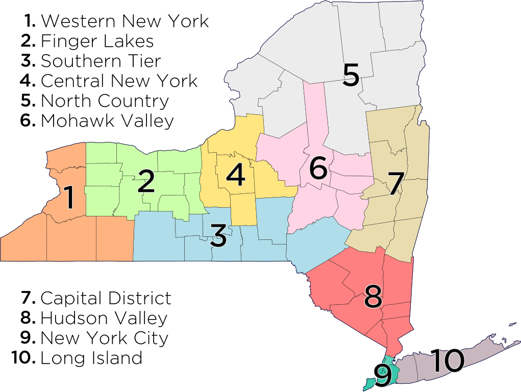
Map of New York's Economic Regions
Summary
[edit]
Licensing
[edit]
I, the copyright holder of this work, hereby publish it under the following license:
This file is licensed under the Creative Commons Attribution-Share Alike 3.0 Unported license.
- You are free:
- to share – to copy, distribute and transmit the work
- to remix – to adapt the work
- Under the following conditions:
- attribution – You must give appropriate credit, provide a link to the license, and indicate if changes were made. You may do so in any reasonable manner, but not in any way that suggests the licensor endorses you or your use.
- share alike – If you remix, transform, or build upon the material, you must distribute your contributions under the same or compatible license as the original.
File history
Click on a date/time to view the file as it appeared at that time.
| Date/Time | Thumbnail | Dimensions | User | Comment | |
|---|---|---|---|---|---|
| current | 16:21, 27 August 2013 | | 633 × 476 (552 KB) | Vmanjr (talk | contribs) | Converted text to paths (use previous version to edit text) |
| 19:24, 21 May 2013 |  | 633 × 476 (459 KB) | Oknazevad (talk | contribs) | More logical numbering (which is ''not'' defined by the state). | |
| 21:41, 23 July 2012 |  | 633 × 476 (459 KB) | Vmanjr (talk | contribs) |
You cannot overwrite this file.
File usage on Commons
There are no pages that use this file.
File usage on other wikis
The following other wikis use this file:
- Usage on ar.wikipedia.org
- Usage on arz.wikipedia.org
- Usage on bn.wikipedia.org
- Usage on en.wikipedia.org
- Finger Lakes
- Long Island
- List of counties in New York
- Mohawk Valley
- List of regions of the United States
- Administrative divisions of New York (state)
- Hudson Valley
- Southern Tier
- Upstate New York
- Capital District (New York)
- List of municipalities in New York
- New York City
- Western New York
- Central New York
- List of towns in New York
- List of census-designated places in New York
- List of places in New York (state)
- Downstate New York
- North Country (New York)
- New York (state)
- Category:Regions of New York (state)
- List of Indian reservations in New York
- Outline of New York (state)
- Timeline of town creation in New York's Capital District
- User:MattWade/New York
- Timeline of town creation in Central New York
- Timeline of town creation in New York's North Country
- User:VanishedUser 23asdsalkaka/towntimeline
- Template:Regions of New York
- Template:Regions of New York navbox
- User talk:PointsofNoReturn/Archive 1
- User:Andrewa/New York (overview)
- North Country Now
- User:Diamondarmorstev/sandbox
- User:SpyGuy12345/sandbox
- User:Chronus/sandbox
- Usage on es.wikipedia.org
- Usage on et.wikipedia.org
- Usage on fa.wikipedia.org
- Usage on fr.wikipedia.org
View more global usage of this file.