File:Map of Montana highlighting Gallatin County.svg
Jump to navigation
Jump to search

Size of this PNG preview of this SVG file: 800 × 461 pixels. Other resolutions: 320 × 185 pixels | 640 × 369 pixels | 1,024 × 590 pixels | 1,280 × 738 pixels | 2,560 × 1,476 pixels | 2,043 × 1,178 pixels.
Original file (SVG file, nominally 2,043 × 1,178 pixels, file size: 100 KB)
Captions
Captions
Add a one-line explanation of what this file represents
Summary
[edit]
| Description |
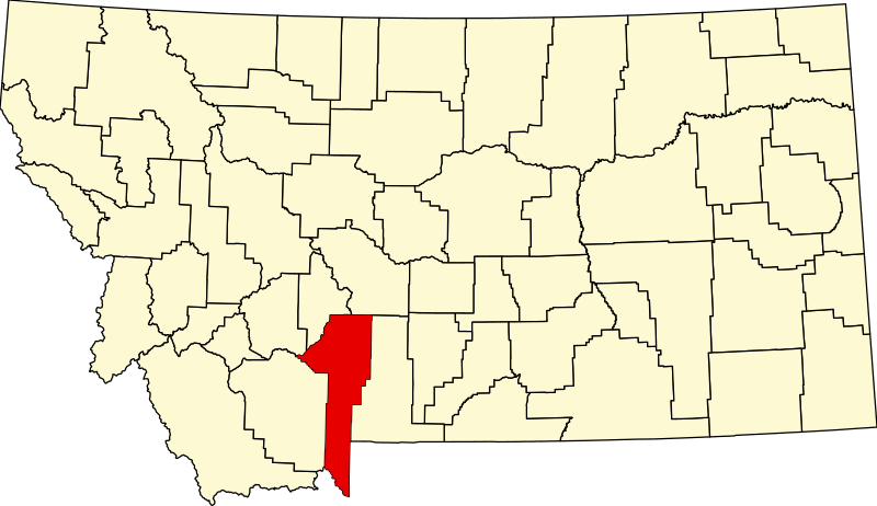
English: This is a locator map showing Gallatin County in Montana. For more information, see Commons:United States county locator maps. |
| Date | |
| Source |
Own work: English: The maps use data from nationalatlas.gov, specifically countyp020.tar.gz on the Raw Data Download page. The maps also use state outline data from statesp020.tar.gz. The Florida maps use hydrogm020.tar.gz to display Lake Okeechobee. |
| Author | David Benbennick |
Licensing
[edit]
| I, the copyright holder of this work, release this work into the public domain. This applies worldwide. In some countries this may not be legally possible; if so: I grant anyone the right to use this work for any purpose, without any conditions, unless such conditions are required by law. |
derivative works
[edit]
Derivative works of this file: Montana Indian Reservations.svg
File history
Click on a date/time to view the file as it appeared at that time.
| Date/Time | Thumbnail | Dimensions | User | Comment | |
|---|---|---|---|---|---|
| current | 00:20, 25 June 2024 | | 2,043 × 1,178 (100 KB) | Nux (talk | contribs) | fix rendering (remove clipping) |
| 13:29, 12 February 2006 |  | 9,194 × 5,303 (122 KB) | David Benbennick (talk | contribs) | {{subst:User:Dbenbenn/clm|county=Gallatin County|state=Montana|type=county}} |
You cannot overwrite this file.
File usage on Commons
The following 7 pages use this file:
- File:Montana Indian Reservations.svg
- Category:Births in Gallatin County, Montana
- Category:Gallatin County, Montana
- Category:Maps of Gallatin County, Montana
- Category:People of Gallatin County, Montana
- Category:Populated places in Gallatin County, Montana
- Category:Transport in Gallatin County, Montana
File usage on other wikis
The following other wikis use this file:
- Usage on ar.wikipedia.org
- Usage on bg.wikipedia.org
- Usage on bpy.wikipedia.org
- Usage on cdo.wikipedia.org
- Usage on ceb.wikipedia.org
- Usage on cy.wikipedia.org
- Usage on de.wikipedia.org
- Usage on en.wikipedia.org
- List of counties in Montana
- Gallatin County, Montana
- Belgrade, Montana
- Bozeman, Montana
- Four Corners, Montana
- Manhattan, Montana
- Three Forks, Montana
- West Yellowstone, Montana
- Willow Creek, Montana
- Big Sky, Montana
- Mount Ellis Academy
- Gallatin Gateway, Montana
- Maudlow, Montana
- User:Nyttend/County templates/MT
- Template:Gallatin County, Montana
- Logan, Montana
- Amsterdam, Montana
- Bozeman Public Library
- Bozeman High School
- National Register of Historic Places listings in Gallatin County, Montana
- Fort Elizabeth Meagher
- List of lakes of Gallatin County, Montana
- List of mountains in Gallatin County, Montana
- Lester S. Willson
- Firehole Ranch
- Category:Populated places in Gallatin County, Montana
- List of trails of Gallatin County, Montana
- Eagle Mount
View more global usage of this file.