File:Map of Mississippi highlighting Kemper County.svg
Jump to navigation
Jump to search

Size of this PNG preview of this SVG file: 372 × 600 pixels. Other resolutions: 149 × 240 pixels | 298 × 480 pixels | 476 × 768 pixels | 635 × 1,024 pixels | 1,271 × 2,048 pixels | 739 × 1,191 pixels.
Original file (SVG file, nominally 739 × 1,191 pixels, file size: 49 KB)
Captions
Captions
Add a one-line explanation of what this file represents
Summary
[edit]
| Description |
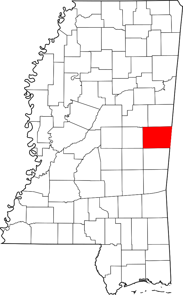
English: This is a locator map showing Kemper County in Mississippi. |
| Source | Own work |
| Author | David Benbennick made this map. For more information, see Commons:United States county locator maps. |
| I, the copyright holder of this work, release this work into the public domain. This applies worldwide. In some countries this may not be legally possible; if so: I grant anyone the right to use this work for any purpose, without any conditions, unless such conditions are required by law. |
File history
Click on a date/time to view the file as it appeared at that time.
| Date/Time | Thumbnail | Dimensions | User | Comment | |
|---|---|---|---|---|---|
| current | 01:10, 25 June 2024 | | 739 × 1,191 (49 KB) | Nux (talk | contribs) | fix rendering (remove clipping) |
| 13:21, 12 February 2006 |  | 3,326 × 5,359 (70 KB) | David Benbennick (talk | contribs) | {{subst:User:Dbenbenn/clm|county=Kemper County|state=Mississippi|type=county}} |
You cannot overwrite this file.
File usage on Commons
The following 3 pages use this file:
File usage on other wikis
The following other wikis use this file:
- Usage on ar.wikipedia.org
- Usage on bg.wikipedia.org
- Usage on bpy.wikipedia.org
- Usage on cdo.wikipedia.org
- Usage on ceb.wikipedia.org
- Usage on ce.wikipedia.org
- Usage on cy.wikipedia.org
- Usage on da.wikipedia.org
- Usage on de.wikipedia.org
- Usage on en.wikipedia.org
- List of counties in Mississippi
- Kemper County, Mississippi
- De Kalb, Mississippi
- Scooba, Mississippi
- Bogue Chitto, Mississippi
- Wahalak, Mississippi
- Mississippi Band of Choctaw Indians
- Template:Kemper County, Mississippi
- Minden, Mississippi
- Electric Mills, Mississippi
- Moscow, Mississippi
- Preston, Mississippi
- Porterville, Mississippi
- User:Nyttend/County templates/MS
- Category:Populated places in Kemper County, Mississippi
- Sucarnoochee, Mississippi
- National Register of Historic Places listings in Kemper County, Mississippi
- Binnsville, Mississippi
- Cullum, Mississippi
- Tamola, Mississippi
- Usage on es.wikipedia.org
- Usage on et.wikipedia.org
- Usage on eu.wikipedia.org
- Usage on fa.wikipedia.org
- Usage on fa.wikivoyage.org
- Usage on frr.wikipedia.org
- Usage on fr.wikipedia.org
View more global usage of this file.