File:Map of Iowa highlighting Wapello County.svg
Jump to navigation
Jump to search

Size of this PNG preview of this SVG file: 800 × 524 pixels. Other resolutions: 320 × 210 pixels | 640 × 419 pixels | 1,024 × 671 pixels | 1,280 × 838 pixels | 2,560 × 1,677 pixels | 5,350 × 3,504 pixels.
Original file (SVG file, nominally 5,350 × 3,504 pixels, file size: 43 KB)
Captions
Captions
Add a one-line explanation of what this file represents
Summary
[edit]
| Description |
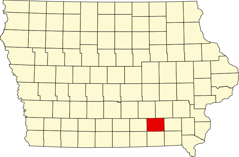
English: This is a locator map showing Wapello County in Iowa. For more information, see Commons:United States county locator maps. |
| Date | |
| Source |
Own work: English: The maps use data from nationalatlas.gov, specifically countyp020.tar.gz on the Raw Data Download page. The maps also use state outline data from statesp020.tar.gz. The Florida maps use hydrogm020.tar.gz to display Lake Okeechobee. |
| Author | David Benbennick |
Licensing
[edit]
| I, the copyright holder of this work, release this work into the public domain. This applies worldwide. In some countries this may not be legally possible; if so: I grant anyone the right to use this work for any purpose, without any conditions, unless such conditions are required by law. |
File history
Click on a date/time to view the file as it appeared at that time.
| Date/Time | Thumbnail | Dimensions | User | Comment | |
|---|---|---|---|---|---|
| current | 12:16, 12 February 2006 | | 5,350 × 3,504 (43 KB) | David Benbennick (talk | contribs) | {{subst:User:Dbenbenn/clm|county=Wapello County|state=Iowa}} |
You cannot overwrite this file.
File usage on Commons
The following 4 pages use this file:
File usage on other wikis
The following other wikis use this file:
- Usage on ar.wikipedia.org
- Usage on bg.wikipedia.org
- Usage on bpy.wikipedia.org
- Usage on cdo.wikipedia.org
- Usage on ceb.wikipedia.org
- Usage on ce.wikipedia.org
- Usage on cy.wikipedia.org
- Usage on de.wikipedia.org
- Usage on en.wikipedia.org
- List of counties in Iowa
- Wapello County, Iowa
- Agency, Iowa
- Blakesburg, Iowa
- Chillicothe, Iowa
- Eldon, Iowa
- Kirkville, Iowa
- Ottumwa, Iowa
- Eddyville, Iowa
- Dudley, Iowa
- Bladensburg, Iowa
- Farson, Iowa
- Ottumwa station
- Template:Wapello County, Iowa
- American Gothic House
- Ottumwa Regional Airport
- National Register of Historic Places listings in Wapello County, Iowa
- User:Nyttend/County templates/IA/2
- B'nai Jacob Synagogue (Ottumwa, Iowa)
- Wapello County Courthouse
- Ottumwa Public Library
- Category:Populated places in Wapello County, Iowa
- Ottumwa City Hall
- Jay Funeral Home
- Ottumwa Young Women's Christian Association
- First National Bank (Ottumwa, Iowa)
- Benson Building (Ottumwa, Iowa)
- Benson Block
- Jefferson Street Viaduct
- Big 4 Fair Art Hall
- McHaffey Opera House
- Eldon Public Library
- Mars Hill (Iowa)
View more global usage of this file.