File:Map of Independent Tartary by Samuel Dunn.jpg
Jump to navigation
Jump to search

Size of this preview: 800 × 594 pixels. Other resolutions: 320 × 238 pixels | 640 × 476 pixels | 1,024 × 761 pixels | 1,280 × 951 pixels | 2,560 × 1,902 pixels | 11,906 × 8,846 pixels.
Original file (11,906 × 8,846 pixels, file size: 15.15 MB, MIME type: image/jpeg)
Captions
Captions
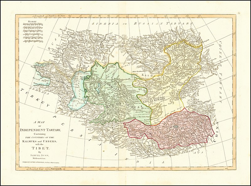
Map of Independent Tartary by Samuel Dunn
Summary
[edit]
| Warning | The original file is very high-resolution. It might not load properly or could cause your browser to freeze when opened at full size. |
|---|
| Description |
English: Map of Independent Tartary by |
||||||||||||||||
| Date | 18th century | ||||||||||||||||
| Source | https://www.raremaps.com/gallery/detail/64886/a-map-of-independent-tartary-containing-the-countries-of-th-dunn | ||||||||||||||||
| Author |
|
||||||||||||||||
Licensing
[edit]
|
This work is in the public domain in its country of origin and other countries and areas where the copyright term is the author's life plus 70 years or fewer. This work is in the public domain in the United States because it was published (or registered with the U.S. Copyright Office) before January 1, 1929. | |
| This file has been identified as being free of known restrictions under copyright law, including all related and neighboring rights. | |
File history
Click on a date/time to view the file as it appeared at that time.
| Date/Time | Thumbnail | Dimensions | User | Comment | |
|---|---|---|---|---|---|
| current | 12:31, 25 April 2020 | | 11,906 × 8,846 (15.15 MB) | Balkanique (talk | contribs) | Uploaded a work by Various from Raremaps.com with UploadWizard |
You cannot overwrite this file.
File usage on Commons
There are no pages that use this file.