File:Map of Finland in Finnish war 1808.svg
Jump to navigation
Jump to search

Size of this PNG preview of this SVG file: 392 × 599 pixels. Other resolutions: 157 × 240 pixels | 314 × 480 pixels | 503 × 768 pixels | 670 × 1,024 pixels | 1,341 × 2,048 pixels | 956 × 1,460 pixels.
Original file (SVG file, nominally 956 × 1,460 pixels, file size: 1.19 MB)
Captions
Captions
Add a one-line explanation of what this file represents
Summary
[edit]
| Description |
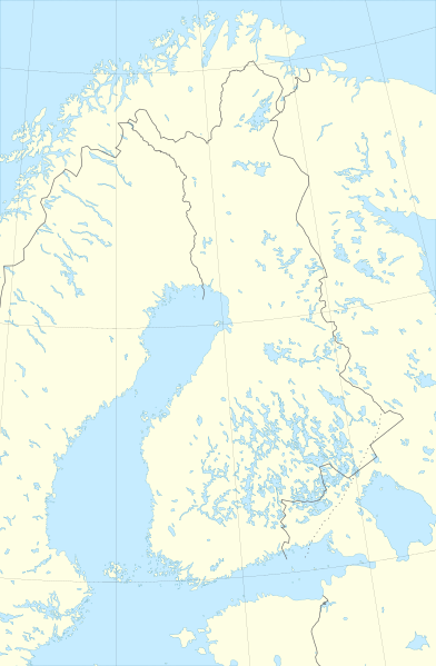
English: Map of Finland in Finnish war (1808)
Français : Carte de la Finlande durant la guerre de Finlande en 1808 |
| Date | 20 September 2008 (original upload date) |
| Source |
Logiciel utilisé :
Autres données :
|
| Author | Sardon |
| Permission (Reusing this file) |
CC-BY-SA-3.0,2.5,2.0,1.0; Released under the GNU Free Documentation License. |
Licensing
[edit]
Sardon at fr.wikipedia, the copyright holder of this work, hereby publishes it under the following licenses:

|
Permission is granted to copy, distribute and/or modify this document under the terms of the GNU Free Documentation License, Version 1.2 or any later version published by the Free Software Foundation; with no Invariant Sections, no Front-Cover Texts, and no Back-Cover Texts. A copy of the license is included in the section entitled GNU Free Documentation License. |
This file is licensed under the Creative Commons Attribution-Share Alike 3.0 Unported, 2.5 Generic, 2.0 Generic and 1.0 Generic license.
Attribution: Sardon at fr.wikipedia
- You are free:
- to share – to copy, distribute and transmit the work
- to remix – to adapt the work
- Under the following conditions:
- attribution – You must give appropriate credit, provide a link to the license, and indicate if changes were made. You may do so in any reasonable manner, but not in any way that suggests the licensor endorses you or your use.
- share alike – If you remix, transform, or build upon the material, you must distribute your contributions under the same or compatible license as the original.
You may select the license of your choice.
Original upload log
[edit]
The original description page was here. All following user names refer to fr.wikipedia.
- 2008-09-20 16:41 Sardon 956×1460×??? (1144413 bytes) {{Information |Description= |Source= * Tracé des côtes et des frontières : World Data Base II, corrigé sur la côte du golfe de Botnie p
File history
Click on a date/time to view the file as it appeared at that time.
| Date/Time | Thumbnail | Dimensions | User | Comment | |
|---|---|---|---|---|---|
| current | 12:23, 26 September 2008 | | 956 × 1,460 (1.19 MB) | Sardon (talk | contribs) | |
| 14:46, 21 September 2008 |  | 956 × 1,460 (1.09 MB) | File Upload Bot (Magnus Manske) (talk | contribs) | {{BotMoveToCommons|fr.wikipedia}} {{Information |Description={{fr|{{Information |Description= |Source= * Tracé des côtes et des frontières : World Data Base II, corrigé sur la côte du golfe de Botnie par le tracé issu du GSHHS. La |
You cannot overwrite this file.
File usage on Commons
There are no pages that use this file.
File usage on other wikis
The following other wikis use this file:
- Usage on fr.wikipedia.org