File:Map of Connecticut highlighting Fairfield County.svg
Jump to navigation
Jump to search

Size of this PNG preview of this SVG file: 800 × 583 pixels. Other resolutions: 320 × 233 pixels | 640 × 467 pixels | 1,024 × 747 pixels | 1,280 × 933 pixels | 2,560 × 1,866 pixels | 1,624 × 1,184 pixels.
Original file (SVG file, nominally 1,624 × 1,184 pixels, file size: 10 KB)
Captions
Captions
Add a one-line explanation of what this file represents
Summary
[edit]
| Description |
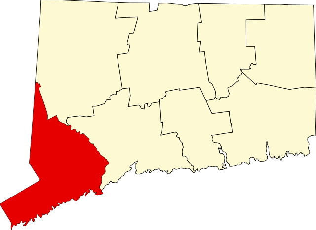
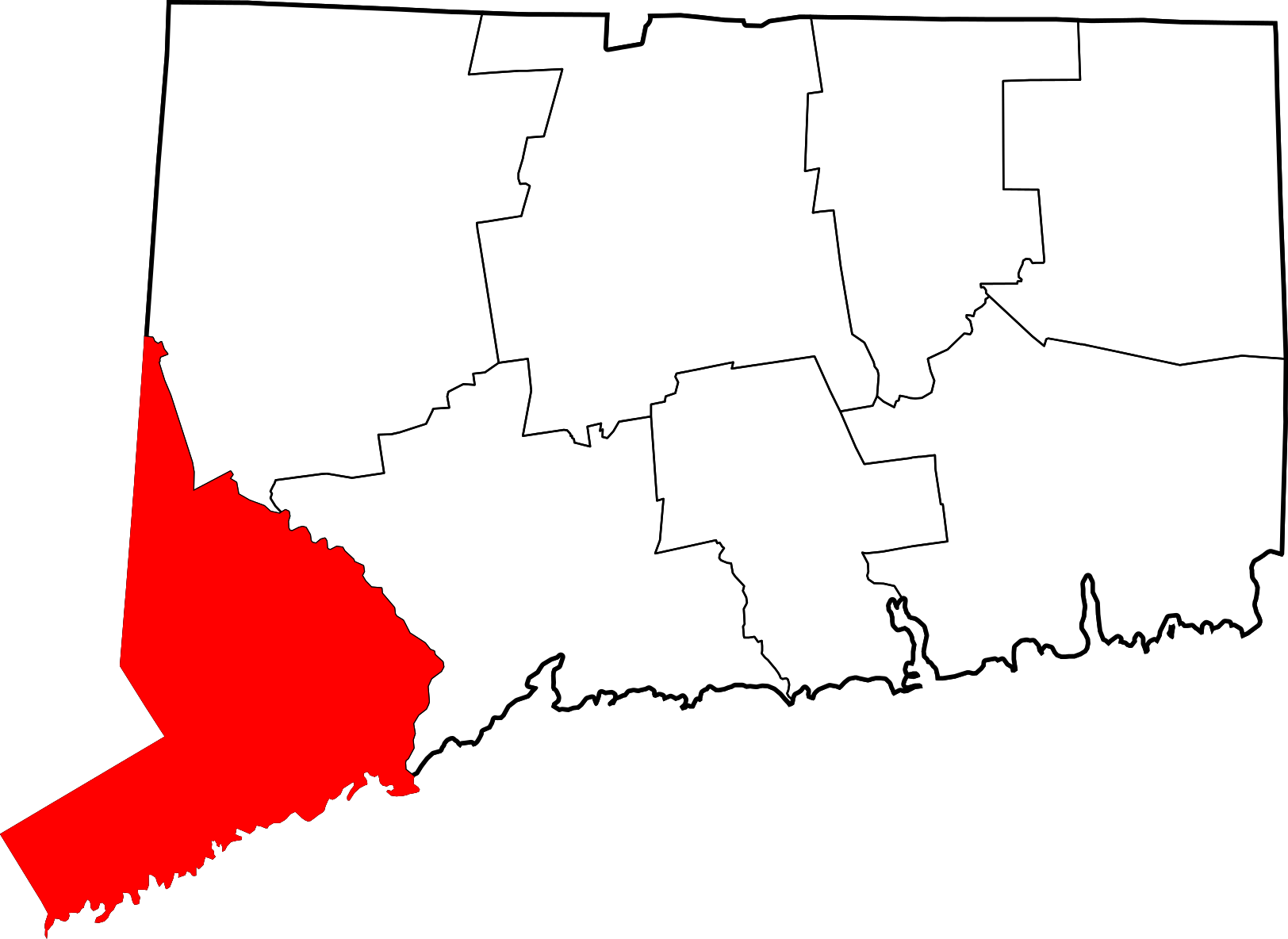
English: This is a locator map showing Fairfield County in Connecticut. For more information, see Commons:United States county locator maps. |
| Date | |
| Source |
Own work: English: The maps use data from nationalatlas.gov, specifically countyp020.tar.gz on the Raw Data Download page. The maps also use state outline data from statesp020.tar.gz. The Florida maps use hydrogm020.tar.gz to display Lake Okeechobee. |
| Author | David Benbennick |
Licensing
[edit]
| I, the copyright holder of this work, release this work into the public domain. This applies worldwide. In some countries this may not be legally possible; if so: I grant anyone the right to use this work for any purpose, without any conditions, unless such conditions are required by law. |
File history
Click on a date/time to view the file as it appeared at that time.
| Date/Time | Thumbnail | Dimensions | User | Comment | |
|---|---|---|---|---|---|
| current | 12:49, 25 June 2024 | | 1,624 × 1,184 (10 KB) | Nux (talk | contribs) | fix rendering (remove clipping) |
| 18:32, 19 June 2024 |  | 1,624 × 1,184 (10 KB) | Nux (talk | contribs) | fix rendering (remove clipping) | |
| 10:31, 12 February 2006 |  | 1,624 × 1,184 (16 KB) | David Benbennick (talk | contribs) | {{subst:User:Dbenbenn/clm|county=Fairfield County|state=Connecticut}} |
You cannot overwrite this file.
File usage on Commons
The following page uses this file:
File usage on other wikis
The following other wikis use this file:
- Usage on ar.wikipedia.org
- نيوتاون
- نوروولك
- بريدجبورت (كونيتيكت)
- ستامفورد (كونيتيكت)
- دانبري (كونيتيكت)
- شيلتون
- جورجتاون (كونيتيكت)
- ساندي هوك (كونيتيكت)
- دارين (كونيتيكت)
- إيستون (كونيتيكت)
- فيرفيلد (كونيتيكت)
- غرينيتش (كونيتيكت)
- مونروي (كونيتيكت)
- نيو كانان (كونيتيكت)
- نيو فيرفيلد (كونيتيكت)
- قائمة مقاطعات كونيتيكت
- قالب:مقاطعة فيرفيلد (كونيتيكت)
- ويستبورت (كونيتيكت)
- بيثل (كونيتيكت)
- Usage on bpy.wikipedia.org
- Usage on ca.wikipedia.org
- Redding (Connecticut)
- Bridgeport (Connecticut)
- Danbury (Connecticut)
- Bethel (Connecticut)
- Brookfield (Connecticut)
- Darien (Connecticut)
- Easton (Connecticut)
- Fairfield (Connecticut)
- Monroe (Connecticut)
- New Canaan
- New Fairfield
- Newtown (Connecticut)
- Norwalk (Connecticut)
- Ridgefield (Connecticut)
- Shelton (Connecticut)
- Sherman (Connecticut)
- Stamford (Connecticut)
- Stratford (Connecticut)
- Trumbull (Connecticut)
- Weston (Connecticut)
- Westport (Connecticut)
- Wilton (Connecticut)
- Plantilla:Comtat de Fairfield (Connecticut)
- Categoria:Comtat de Fairfield (Connecticut)
- Usage on cdo.wikipedia.org
- Usage on cs.wikipedia.org
- Usage on de.wikipedia.org
View more global usage of this file.