File:Map of Central America Shewing The Different Lines of Atlantic & Pacific Communication. By James Wyld, Geographer To the Queen & H.R. H. Prince Albert.jpg
Jump to navigation
Jump to search

Size of this preview: 800 × 499 pixels. Other resolutions: 320 × 200 pixels | 640 × 399 pixels | 1,024 × 639 pixels | 1,280 × 798 pixels | 2,560 × 1,596 pixels | 7,760 × 4,839 pixels.
Original file (7,760 × 4,839 pixels, file size: 3.69 MB, MIME type: image/jpeg)
Captions
Captions
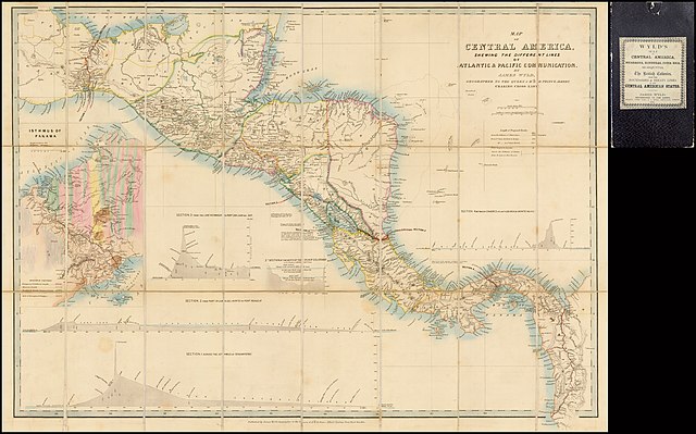
Map of Central America Shewing The Different Lines of Atlantic & Pacific Communication
Summary
[edit]
| Description |
English: Map of Central America Shewing The Different Lines of Atlantic & Pacific Communication. By James Wyld, Geographer To the Queen & H.R. H. Prince Albert. |
| Date | |
| Source | https://purl.stanford.edu/yg728yn6204 |
| Author | James Wyld |
Licensing
[edit]
|
This work is in the public domain in its country of origin and other countries and areas where the copyright term is the author's life plus 70 years or fewer. This work is in the public domain in the United States because it was published (or registered with the U.S. Copyright Office) before January 1, 1929. | |
| This file has been identified as being free of known restrictions under copyright law, including all related and neighboring rights. | |
File history
Click on a date/time to view the file as it appeared at that time.
| Date/Time | Thumbnail | Dimensions | User | Comment | |
|---|---|---|---|---|---|
| current | 14:46, 11 August 2022 | | 7,760 × 4,839 (3.69 MB) | Thecaribbeancoast (talk | contribs) | Uploaded a work by James Wyld from https://purl.stanford.edu/yg728yn6204 with UploadWizard |
You cannot overwrite this file.
File usage on Commons
There are no pages that use this file.