File:Map of CEVNI Countries.svg
Jump to navigation
Jump to search

Size of this PNG preview of this SVG file: 680 × 520 pixels. Other resolutions: 314 × 240 pixels | 628 × 480 pixels | 1,004 × 768 pixels | 1,280 × 979 pixels | 2,560 × 1,958 pixels.
Original file (SVG file, nominally 680 × 520 pixels, file size: 530 KB)
Captions
Captions
Add a one-line explanation of what this file represents
Summary
[edit]
| Description |
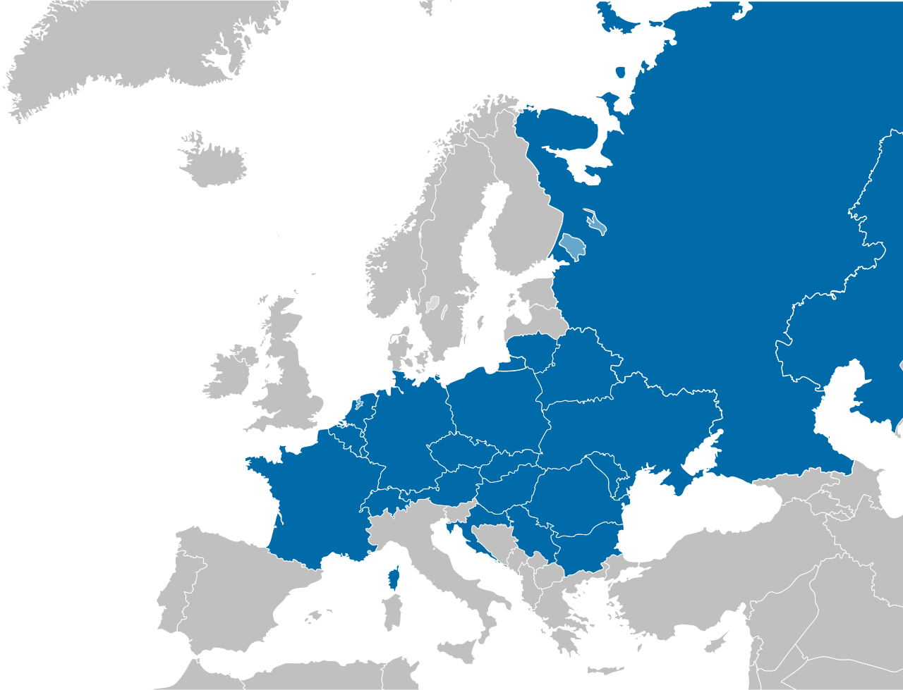
English: A map of countries that have implemented CEVNI – European Code for Inland Waterways, Resolution No. 24 of Working Party on Inland Water Transport of United Nations Economic Commission for Europe. Suomi: Kartta valtioista, jotka ovat panneet täytäntöön Yhdistyneiden kansakuntien Euroopan talouskomission sisävesiliikennetyöryhmän päätöslauselman nro 24, CEVNI – Euroopan sisävesiliikenteen säännöstö. |
| Date | |
| Source | File:Blank_political_map_Europe_in_2006_WF.svg |
| Author | PNG author: San Jose, 19. July 2006. SVG trace by RedHotHeat 06 August 2006. CEVNI countries by User:Vellari |
Licensing
[edit]
This image is in the public domain because it contains materials that originally came from the United States Central Intelligence Agency's World Factbook.
|
 |
File history
Click on a date/time to view the file as it appeared at that time.
| Date/Time | Thumbnail | Dimensions | User | Comment | |
|---|---|---|---|---|---|
| current | 19:29, 21 January 2012 | | 680 × 520 (530 KB) | Vellari (talk | contribs) |
You cannot overwrite this file.
File usage on Commons
The following 2 pages use this file:
File usage on other wikis
The following other wikis use this file:
- Usage on de.wikipedia.org
- Usage on en.wikipedia.org
- Usage on fi.wikipedia.org
- Usage on nl.wikipedia.org
- Usage on www.wikidata.org