File:Map of Bennett Island 1902.jpg
Jump to navigation
Jump to search
No higher resolution available.
Map_of_Bennett_Island_1902.jpg (507 × 395 pixels, file size: 74 KB, MIME type: image/jpeg)
Captions
Captions
Add a one-line explanation of what this file represents
Summary
[edit]
| Description |
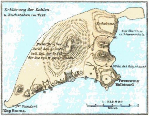
English: Map of Bennett Island, drawn by Friedrich Seeberg of the Russian polar expedition of 1900-1902.
Deutsch: Karte der Bennett-Insel gezeichnet von Friedrich Seeberg von der Russischen Arktisexpedition 1900-1902. |
| Date | |
| Source | Petermanns Mitt. 50, 1904, p. 274 |
| Author | Friedrich Seeberg (1872-1902) |
Licensing
[edit]
|
This work is in the public domain in its country of origin and other countries and areas where the copyright term is the author's life plus 70 years or fewer. | |
| This file has been identified as being free of known restrictions under copyright law, including all related and neighboring rights. | |
File history
Click on a date/time to view the file as it appeared at that time.
| Date/Time | Thumbnail | Dimensions | User | Comment | |
|---|---|---|---|---|---|
| current | 18:43, 19 February 2016 | | 507 × 395 (74 KB) | Dreizung (talk | contribs) | {{Information |Description ={{en|1=Map of Bennett Island, drawn by Friedrich Seeberg of the Russian polar expedition of 1900-1902.}} {{de|1=Karte der Bennett-Insel gezeichnet von Friedrich Seeberg von... |
You cannot overwrite this file.
File usage on Commons
The following page uses this file:
File usage on other wikis
The following other wikis use this file:
- Usage on de.wikipedia.org
- Usage on fr.wikipedia.org
- Usage on it.wikipedia.org