File:Map of Alabama highlighting Hale County.svg
Jump to navigation
Jump to search

Size of this PNG preview of this SVG file: 379 × 599 pixels. Other resolutions: 152 × 240 pixels | 303 × 480 pixels | 486 × 768 pixels | 648 × 1,024 pixels | 1,295 × 2,048 pixels | 644 × 1,018 pixels.
Original file (SVG file, nominally 644 × 1,018 pixels, file size: 77 KB)
Captions
Captions
Add a one-line explanation of what this file represents
Summary
[edit]
| Description |
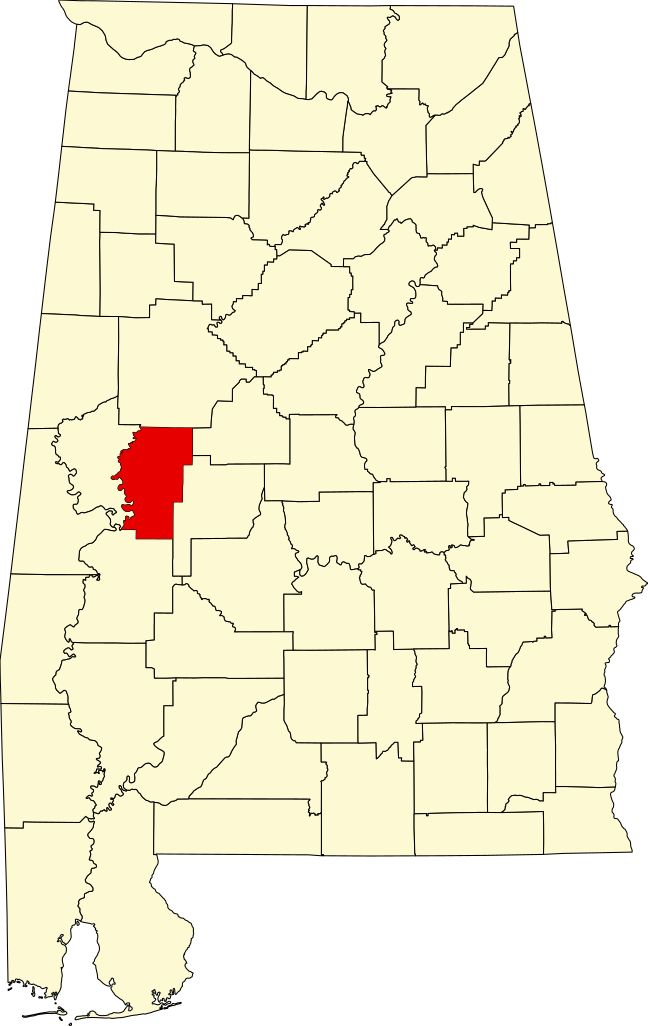
Locator map showing Hale County — in Alabama.
|
| Date | 12 February 2006 (original upload date) |
| Source | No machine-readable source provided. Own work assumed (based on copyright claims). |
| Author | No machine-readable author provided. David Benbennick assumed (based on copyright claims). |
Licensing
[edit]
| I, the copyright holder of this work, release this work into the public domain. This applies worldwide. In some countries this may not be legally possible; if so: I grant anyone the right to use this work for any purpose, without any conditions, unless such conditions are required by law. |
File history
Click on a date/time to view the file as it appeared at that time.
| Date/Time | Thumbnail | Dimensions | User | Comment | |
|---|---|---|---|---|---|
| current | 13:02, 25 June 2024 | | 644 × 1,018 (77 KB) | Nux (talk | contribs) | uniform colors with good contrast |
| 21:36, 16 June 2024 |  | 965 × 1,528 (77 KB) | Nux (talk | contribs) | fix rendering (remove clipping) | |
| 09:52, 12 February 2006 |  | 3,379 × 5,346 (94 KB) | David Benbennick (talk | contribs) | {{subst:User:Dbenbenn/clm|county=Hale County|state=Alabama}} |
You cannot overwrite this file.
File usage on Commons
The following 5 pages use this file:
File usage on other wikis
The following other wikis use this file:
- Usage on ar.wikipedia.org
- Usage on azb.wikipedia.org
- Usage on az.wikipedia.org
- Usage on bg.wikipedia.org
- Usage on bpy.wikipedia.org
- Usage on ca.wikipedia.org
- Usage on cdo.wikipedia.org
- Usage on ceb.wikipedia.org
- Usage on ce.wikipedia.org
- Usage on cy.wikipedia.org
- Usage on de.wikipedia.org
- Usage on en.wikipedia.org
- List of counties in Alabama
- Hale County, Alabama
- Akron, Alabama
- Greensboro, Alabama
- Moundville, Alabama
- Newbern, Alabama
- Moundville Archaeological Site
- National Register of Historic Places listings in Hale County, Alabama
- Template:Hale County, Alabama
- St. Andrew's Episcopal Church (Prairieville, Alabama)
- Prairieville, Alabama
- Waldwic
- User:Nyttend/County templates/AL
- User:ArkyBot/Sbx/Akron, Alabama
- Bermuda Hill
- Battersea (Prairieville, Alabama)
- Gallion, Alabama
- Magnolia Grove (Greensboro, Alabama)
- Tanglewood (Akron, Alabama)
- Alfred Hatch Place at Arcola
- Borden Oaks
- Emory School
- Oak Grove School (Prairieville, Alabama)
- Glencairn (Greensboro, Alabama)
- Greensboro Historic District (Greensboro, Alabama)
- Hawthorne (Prairieville, Alabama)
- McGehee–Stringfellow House
- Millwood (Greensboro, Alabama)
View more global usage of this file.