File:Map Toulon.jpg
Jump to navigation
Jump to search

Size of this preview: 655 × 599 pixels. Other resolutions: 262 × 240 pixels | 525 × 480 pixels | 839 × 768 pixels | 1,119 × 1,024 pixels | 2,086 × 1,909 pixels.
Original file (2,086 × 1,909 pixels, file size: 2.72 MB, MIME type: image/jpeg)
Captions
Captions
Add a one-line explanation of what this file represents
Summary
[edit]
| Description |
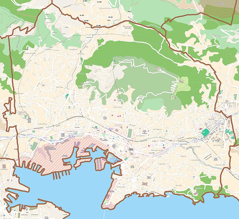
English: Map of Toulon, France
Français : Carte de Toulon, France |
||||||||||||
| Date | |||||||||||||
| Source |
|
||||||||||||
| Author | OpenStreetMap contributors |
Licensing
[edit]
I, the copyright holder of this work, hereby publish it under the following license:
This file is licensed under the Creative Commons Attribution-Share Alike 3.0 Unported license.
- You are free:
- to share – to copy, distribute and transmit the work
- to remix – to adapt the work
- Under the following conditions:
- attribution – You must give appropriate credit, provide a link to the license, and indicate if changes were made. You may do so in any reasonable manner, but not in any way that suggests the licensor endorses you or your use.
- share alike – If you remix, transform, or build upon the material, you must distribute your contributions under the same or compatible license as the original.
File history
Click on a date/time to view the file as it appeared at that time.
| Date/Time | Thumbnail | Dimensions | User | Comment | |
|---|---|---|---|---|---|
| current | 15:32, 5 January 2012 | | 2,086 × 1,909 (2.72 MB) | XIIIfromTOKYO (talk | contribs) | {{Information |Description ={{en|1=Map of Toulon, France}} {{fr|1=Carte de Toulon, France}} |Source ={{openstreetmap}} |Author =OpenStreetMap contributors |Date =2012-01-05 |Permission = |other_versions = }} [[Category:Ma |
You cannot overwrite this file.
File usage on Commons
There are no pages that use this file.
File usage on other wikis
The following other wikis use this file:
- Usage on el.wikipedia.org
- Usage on eo.wikipedia.org
- Usage on fr.wikipedia.org
- Mont Faron
- Stade Mayol
- Stade de Bon Rencontre
- Tour royale
- Le Mourillon
- Hôpital d'instruction des armées Sainte-Anne
- Palais des sports Jauréguiberry
- Cathédrale Notre-Dame-de-la-Seds de Toulon
- Musée des arts asiatiques de Toulon
- Tunnel de Toulon
- Mémorial du débarquement en Provence
- Boulevard de Strasbourg (Toulon)
- Téléphérique du mont Faron
- Saint-Roch (Toulon)
- Zoo du Mont Faron
- Fort Saint-Louis (Toulon)
- Jardin Alexandre-Ier
- Magenta (1861)
- Pont du Las
- Hôtel départemental des arts du Var
- Halles Raspail
- Centre commercial Mayol
- Musée d'Art de Toulon
- Place de la Liberté (Toulon)
- Fort de l'Éguillette
- École supérieure d'art et de design Toulon Provence Méditerranée
- Muséum départemental du Var
- Place à l'Huile
- Modèle:Géolocalisation/Toulon
- Stade Léo-Lagrange (Toulon)
- Lycée Bonaparte (Toulon)
- Chapelle Notre-Dame-du-Cap-Falcon
- Lycée Dumont-d'Urville
- Musée national de la Marine de Toulon
- Gare routière de Toulon
- Hôtel de préfecture du Var
- Cercle naval de Toulon
- Comédie de Toulon
- Monument aux morts de la Première Guerre mondiale (Toulon)
- École élémentaire des Trois-Quartiers
- Crémaillère du Faron
- Caserne retranchée du Faron
- Fort du Grand Saint-Antoine (Toulon)
- Jardin de rocaille de la maison Noble
- Hôtel de ville de Toulon
- Palais épiscopal de Toulon
View more global usage of this file.