File:Map TH provinces by sapapat.png
Jump to navigation
Jump to search

Size of this preview: 400 × 600 pixels. Other resolutions: 160 × 240 pixels | 320 × 480 pixels.
Original file (800 × 1,200 pixels, file size: 31 KB, MIME type: image/png)
Captions
Captions
Add a one-line explanation of what this file represents
Summary
[edit]
| Description |
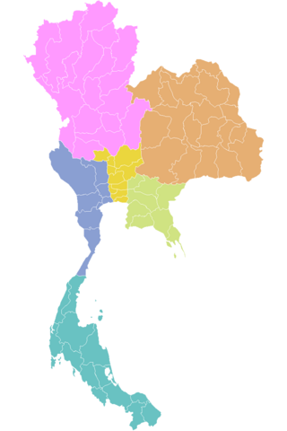
ไทย: แผนที่ประเทศไทย แสดงการแบ่งจังหวัดโดยเกณฑ์ของสภาพัฒน์ |
| Date | วันที่อัปโหลด |
| Source | วาดขึ้นเอง |
| Author | ผู้อัปโหลด |
Licensing
[edit]
| I, the copyright holder of this work, release this work into the public domain. This applies worldwide. In some countries this may not be legally possible; if so: I grant anyone the right to use this work for any purpose, without any conditions, unless such conditions are required by law. |
File history
Click on a date/time to view the file as it appeared at that time.
| Date/Time | Thumbnail | Dimensions | User | Comment | |
|---|---|---|---|---|---|
| current | 16:36, 25 November 2015 | | 800 × 1,200 (31 KB) | Buggame1122 (talk | contribs) | |
| 21:53, 26 June 2008 |  | 800 × 1,200 (19 KB) | Aquapatinth (talk | contribs) | == คำอธิบายโดยย่อ == {{กล่องข้อมูล ภาพเสรี | คำอธิบายภาพ = แผนที่ประเทศไทย แสดงการแบ่งจังหวัดโดย� |
You cannot overwrite this file.
File usage on Commons
There are no pages that use this file.