File:Map NO 36-5 obxod.jpg
Jump to navigation
Jump to search
No higher resolution available.
Map_NO_36-5_obxod.jpg (654 × 454 pixels, file size: 163 KB, MIME type: image/jpeg)
Captions
Captions
Add a one-line explanation of what this file represents
Summary
[edit]
| Description |
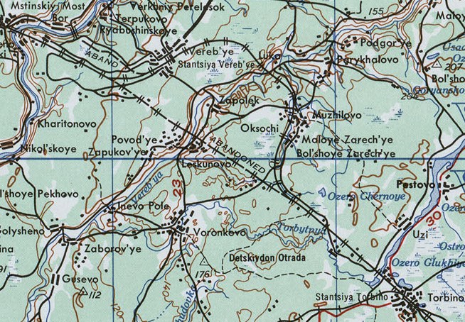
Русский: Часть листа из набора карт Восточной Европы Картографической военной службы США. Серия 501. 1954 Веребьинский обход Николаевской железной дороги. Масштаб 1:250 000 |
| Date | |
| Source | http://www.lib.utexas.edu/maps/ams/eastern_europe/ A Univercity of Texas libraries |
| Author |
English: U.S. Army Map Service |
| Camera location | | View this and other nearby images on: OpenStreetMap |
|---|
Licensing
[edit]
This file is a work of a U.S. Army soldier or employee, taken or made as part of that person's official duties. As a work of the U.S. federal government, it is in the public domain in the United States.
|
 |
File history
Click on a date/time to view the file as it appeared at that time.
| Date/Time | Thumbnail | Dimensions | User | Comment | |
|---|---|---|---|---|---|
| current | 19:25, 4 July 2012 | | 654 × 454 (163 KB) | Germash19 (talk | contribs) |
You cannot overwrite this file.
File usage on Commons
The following page uses this file:
File usage on other wikis
The following other wikis use this file:
- Usage on en.wikipedia.org
- Usage on fi.wikipedia.org
- Usage on he.wikipedia.org
- Usage on it.wikipedia.org
- Usage on pl.wikipedia.org
- Usage on ru.wikipedia.org
- Usage on sl.wikipedia.org
- Usage on uk.wikipedia.org
- Usage on uz.wikipedia.org
- Usage on www.wikidata.org