File:Map La Rochelle.jpg
Jump to navigation
Jump to search

Size of this preview: 800 × 506 pixels. Other resolutions: 320 × 203 pixels | 640 × 405 pixels | 1,024 × 648 pixels | 1,280 × 810 pixels | 2,468 × 1,562 pixels.
Original file (2,468 × 1,562 pixels, file size: 2.66 MB, MIME type: image/jpeg)
Captions
Captions
Add a one-line explanation of what this file represents
Summary
[edit]
| Description |
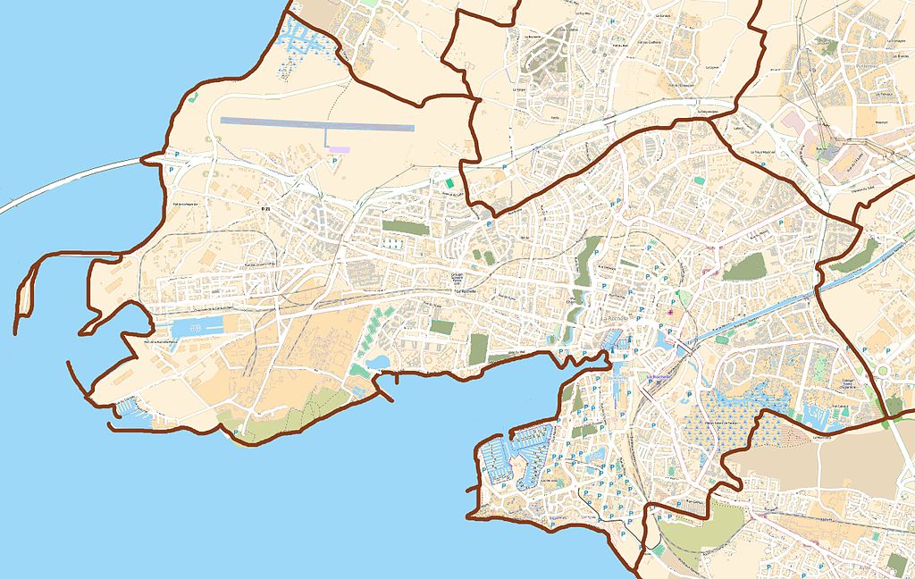
This map of English: Map of La Rochelle, France
Français : Carte de La Rochelle, France was created from OpenStreetMap project data, collected by the community. This map may be incomplete, and may contain errors. Don't rely solely on it for navigation. |
|||||||||
| Date | (see file history) | |||||||||
| Source | openstreetmap.org | |||||||||
| Creator |
OpenStreetMap contributors |
|||||||||
| Permission (Reusing this file) |
OpenStreetMap data and maps are licensed under the Creative Commons Attribution-ShareAlike 2.0 license (CC-BY-SA 2.0). This file is licensed under the Creative Commons Attribution-Share Alike 2.0 Generic license.
|
|||||||||
| Geotemporal data | ||||||||||
| Bounding box |
|
|||||||||
| Georeferencing | If inappropriate please set warp_status = skip to hide. | |||||||||
Licensing
[edit]
This file is licensed under the Creative Commons Attribution-Share Alike 3.0 Unported license.
- You are free:
- to share – to copy, distribute and transmit the work
- to remix – to adapt the work
- Under the following conditions:
- attribution – You must give appropriate credit, provide a link to the license, and indicate if changes were made. You may do so in any reasonable manner, but not in any way that suggests the licensor endorses you or your use.
- share alike – If you remix, transform, or build upon the material, you must distribute your contributions under the same or compatible license as the original.
File history
Click on a date/time to view the file as it appeared at that time.
| Date/Time | Thumbnail | Dimensions | User | Comment | |
|---|---|---|---|---|---|
| current | 18:44, 30 August 2012 | | 2,468 × 1,562 (2.66 MB) | XIIIfromTOKYO (talk | contribs) | colors |
| 09:54, 24 August 2012 |  | 2,468 × 1,562 (834 KB) | XIIIfromTOKYO (talk | contribs) | User created page with UploadWizard |
You cannot overwrite this file.
File usage on Commons
There are no pages that use this file.
File usage on other wikis
The following other wikis use this file:
- Usage on eo.wikipedia.org
- Usage on fr.wikipedia.org
- École d'ingénieurs généralistes - La Rochelle
- Phare du Bout du Monde
- Grand port maritime de La Rochelle
- Port des Minimes
- Port de pêche de Chef de Baie
- Modèle:Infobox Port
- Tour Saint-Nicolas
- Tour de la Chaîne
- Tour de la Lanterne
- Lycée hôtelier de La Rochelle
- Gare de La Rochelle-Ville
- Fontaine du Pilori de La Rochelle
- Base sous-marine de La Rochelle
- Musée maritime de La Rochelle
- Château Vauclair
- Lycée Antoine-de-Saint-Exupéry (La Rochelle)
- Phare du quai Valin
- Muséum d'histoire naturelle de La Rochelle
- Musée des automates
- Musée des modèles réduits
- Musée du Nouveau Monde
- Musée rochelais d’histoire protestante
- Musée des Beaux-Arts de La Rochelle
- Archives départementales de la Charente-Maritime
- Gare de La Rochelle-Porte-Dauphine
- Musée Grévin de La Rochelle
- Hôtel de préfecture de la Charente-Maritime
- Modèle:Infobox Port/Documentation
- Église Saint-Sauveur de La Rochelle
- Chapelle Notre-Dame-de-l'Espérance de La Rochelle
- Église Notre-Dame-de-Cougnes de La Rochelle
- Modèle:Géolocalisation/La Rochelle
- Utilisateur:Stuartes/brouillon
- Utilisateur:Stuartes/brouillon2
- Module:Carte/données/la rochelle
- Temple protestant de La Rochelle
- Église Saint-Jean-du-Perrot
- Église des Carmes de La Rochelle
- Couvent des Augustins de La Rochelle
- Église Saint-Pierre de Laleu
- Église Saint-André-et-Sainte-Jeanne-d'Arc de Fétilly
- Couvent des Dames Blanches (La Rochelle)
- Modèle:Infobox Port/Bac à sable
View more global usage of this file.