File:Map Henan adm.png
Jump to navigation
Jump to search

Size of this preview: 616 × 600 pixels. Other resolutions: 246 × 240 pixels | 493 × 480 pixels | 789 × 768 pixels | 1,051 × 1,024 pixels | 1,500 × 1,461 pixels.
Original file (1,500 × 1,461 pixels, file size: 379 KB, MIME type: image/png)
Captions
Captions
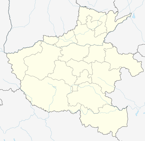
Map of Henan with administrative divisions.
Summary
[edit]
| Description | |
| Date | |
| Source | Own work |
| Author | Not logging in |
Licensing
[edit]

|
This locator map image could be re-created using vector graphics as an SVG file. This has several advantages; see Commons:Media for cleanup for more information. If an SVG form of this image is available, please upload it and afterwards replace this template with
{{vector version available|new image name}}.
It is recommended to name the SVG file “Map Henan adm.svg”—then the template Vector version available (or Vva) does not need the new image name parameter. |
I, the copyright holder of this work, hereby publish it under the following license:
This file is licensed under the Creative Commons Attribution-Share Alike 4.0 International license.
- You are free:
- to share – to copy, distribute and transmit the work
- to remix – to adapt the work
- Under the following conditions:
- attribution – You must give appropriate credit, provide a link to the license, and indicate if changes were made. You may do so in any reasonable manner, but not in any way that suggests the licensor endorses you or your use.
- share alike – If you remix, transform, or build upon the material, you must distribute your contributions under the same or compatible license as the original.
| This file has been released under a license which is incompatible with Facebook's licensing terms. It is not permitted to upload this file to Facebook. |
File history
Click on a date/time to view the file as it appeared at that time.
| Date/Time | Thumbnail | Dimensions | User | Comment | |
|---|---|---|---|---|---|
| current | 04:30, 19 September 2021 | | 1,500 × 1,461 (379 KB) | Not logging in (talk | contribs) | Uploaded own work with UploadWizard |
You cannot overwrite this file.
File usage on Commons
The following 2 pages use this file:
File usage on other wikis
The following other wikis use this file:
- Usage on de.wikipedia.org
- Usage on en.wikipedia.org
- Shaolin Monastery
- Changyuan
- Yinxu
- White Horse Temple
- Longmen Grottoes
- Yanshi, Luoyang
- Shangshui County
- Xinzheng
- Zhuxian, Henan
- Zhengzhou Xinzheng International Airport
- Xianghua, Henan
- Fukan
- Taikang County
- Runan County
- Ruyi Lake
- Xingyang
- Yingguo
- Hulao Pass
- Liangyuan, Shangqiu
- Suiyang, Shangqiu
- Huixian
- Weihui
- Dengzhou
- Xiangcheng City
- Yuzhou, Henan
- Waizi
- Queshan County
- Henan Museum
- Wugang, Henan
- Ruzhou
- Luoyang Beijiao Airport
- Nanyang Jiangying Airport
- Jinpu
- Iron Pagoda
- Biyang County
- Changge
- Dengfeng
- Songyue Pagoda
- Yucheng County
- Lankao County
- Qi County, Kaifeng
- Qinyang
- Yongcheng
- Lingbao City
View more global usage of this file.