File:Map Carnac stones.jpg
Jump to navigation
Jump to search

Size of this preview: 800 × 574 pixels. Other resolutions: 320 × 230 pixels | 640 × 459 pixels | 1,024 × 734 pixels | 1,280 × 918 pixels | 2,352 × 1,687 pixels.
Original file (2,352 × 1,687 pixels, file size: 2.22 MB, MIME type: image/jpeg)
Captions
Captions
Add a one-line explanation of what this file represents
Summary
[edit]
| Description |
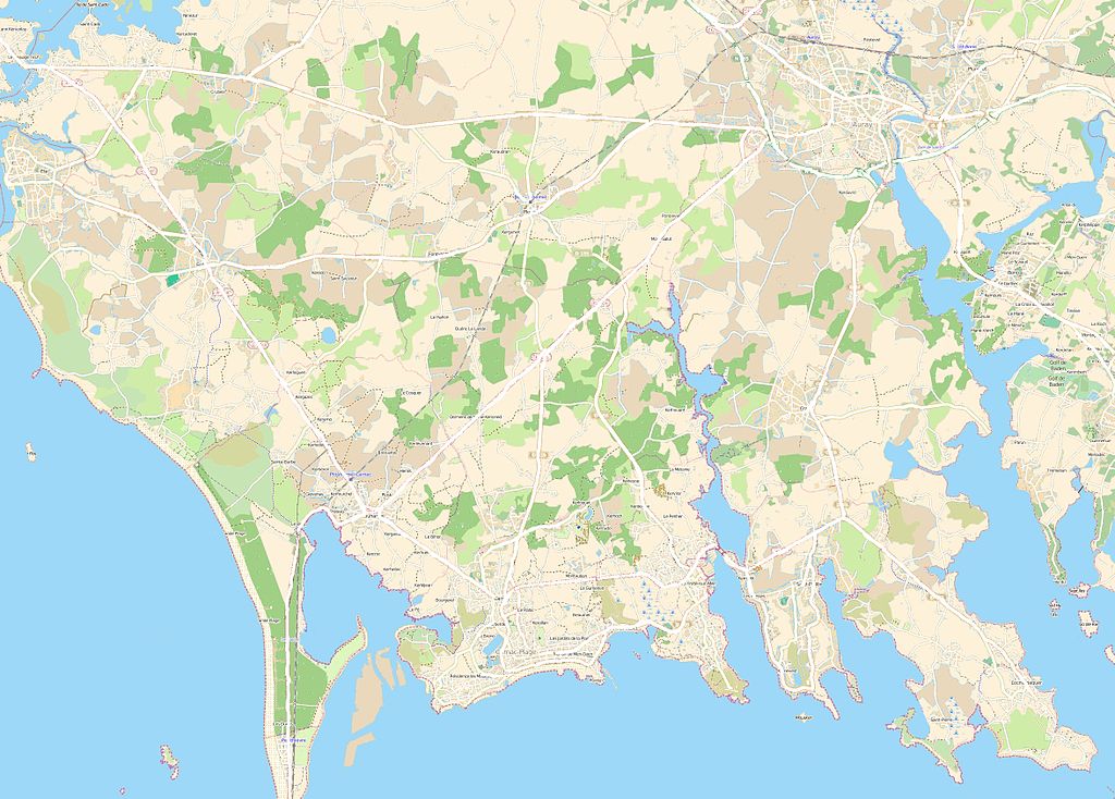
This map of Carnac stones was created from OpenStreetMap project data, collected by the community. This map may be incomplete, and may contain errors. Don't rely solely on it for navigation. |
|||||||||
| Date | (see file history) | |||||||||
| Source | openstreetmap.org | |||||||||
| Creator |
OpenStreetMap contributors |
|||||||||
| Permission (Reusing this file) |
OpenStreetMap data and maps are licensed under the Creative Commons Attribution-ShareAlike 2.0 license (CC-BY-SA 2.0). This file is licensed under the Creative Commons Attribution-Share Alike 2.0 Generic license.
|
|||||||||
| Geotemporal data | ||||||||||
| Bounding box |
|
|||||||||
| Georeferencing | If inappropriate please set warp_status = skip to hide. | |||||||||
Licensing
[edit]
This file is licensed under the Creative Commons Attribution-Share Alike 3.0 Unported license.
- You are free:
- to share – to copy, distribute and transmit the work
- to remix – to adapt the work
- Under the following conditions:
- attribution – You must give appropriate credit, provide a link to the license, and indicate if changes were made. You may do so in any reasonable manner, but not in any way that suggests the licensor endorses you or your use.
- share alike – If you remix, transform, or build upon the material, you must distribute your contributions under the same or compatible license as the original.
File history
Click on a date/time to view the file as it appeared at that time.
| Date/Time | Thumbnail | Dimensions | User | Comment | |
|---|---|---|---|---|---|
| current | 12:21, 10 March 2014 | | 2,352 × 1,687 (2.22 MB) | XIIIfromTOKYO (talk | contribs) | colors |
| 11:35, 10 March 2014 |  | 2,352 × 1,687 (753 KB) | XIIIfromTOKYO (talk | contribs) | User created page with UploadWizard |
You cannot overwrite this file.
File usage on Commons
The following page uses this file:
File usage on other wikis
The following other wikis use this file:
- Usage on fr.wikipedia.org
- Table des Marchand
- Dolmen de Mané-Kerioned
- Alignements de Carnac
- Grand menhir brisé d'Er Grah
- Tumulus d'Er Grah
- Les Pierres Plates
- Dolmen de Crucuno
- Cromlech de Crucuno
- Tumulus du Mané-Lud
- Alignements de Kerzérho
- Alignement de Kerlescan
- Alignement du Ménec
- Alignements du Petit-Ménec
- Dolmen de Kerangré
- Dolmen de Ty-er-Mané
- Abbaye Saint-Michel de Kergonan
- Tumulus Saint-Michel
- Menhir du Bronso
- Dolmen de Coët-Courzo
- Dolmen de Kercadoret
- Dolmen d'Er Houel
- Dolmens de Kerdaniel
- Dolmen de Kerlud
- Dolmen de Kerveresse
- Dolmen du Mané-Rutual
- Menhir de Mein Er Mere
- Quadrilatère du Manio
- Modèle:Géolocalisation/Alignements de Carnac
- Menhir du Bourg de Carnac
- Allée couverte d'Er-Roh
- Alignements de Kermario
- Cairn de Kercado
- Église Saint-Sauveur d'Auray
- Géant du Manio
- Dolmen de Cruz-Menquen
- Dolmen de Beaumer
- Dolmen de Kerlescan
- Dolmen de Kermario
- Dolmen de Roch-Feutet
- Tumulus du Moustoir (Carnac)
- Tumulus de Crucuny
- Chapelle Saint-Colomban de Carnac
- Calvaire Saint-Michel de Carnac
- Chapelle Saint-Michel de Carnac
- Tumulus de Toul Prieu
- Dolmen d'Er-Roch-Vras
- Dolmen de Kéric-la-Lande
- Dolmen de Kluder-Yer
- Tumulus de Mané-Klud-er-Yer
- Cromlech de Crucuny
View more global usage of this file.