File:Map CZ - district Prachatice.PNG
Jump to navigation
Jump to search
Size of this preview: 800 × 548 pixels. Other resolutions: 320 × 219 pixels | 640 × 439 pixels | 1,024 × 702 pixels | 1,281 × 878 pixels.
Original file (1,281 × 878 pixels, file size: 37 KB, MIME type: image/png)
Captions
Captions
Add a one-line explanation of what this file represents
Summary
[edit]
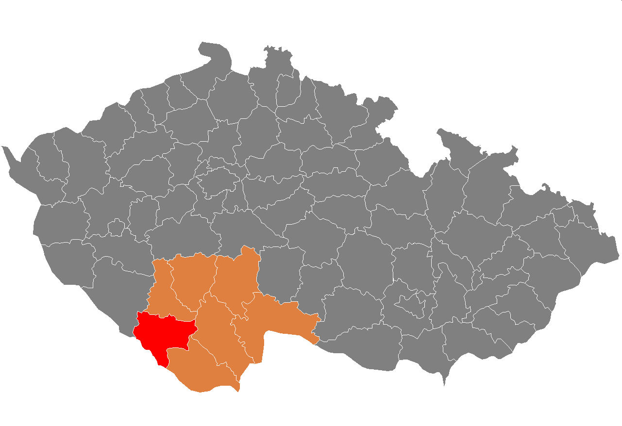
| Description | Location of Prachatice District in South Bohemian Region and the Czech Republic. | ||
| Date | Unknown date | ||
| Source | self-made, based on Image:Czech_Republic_districts.png | ||
| Author | Michiel1972 | ||
| Permission (Reusing this file) |
|
File history
Click on a date/time to view the file as it appeared at that time.
| Date/Time | Thumbnail | Dimensions | User | Comment | |
|---|---|---|---|---|---|
| current | 20:30, 2 January 2014 | | 1,281 × 878 (37 KB) | Jacquesverlaeken (talk | contribs) | Red color now shows Pisek, not Prachatice District. |
| 10:11, 18 August 2013 |  | 619 × 356 (22 KB) | Iguacu (talk | contribs) | new borders | |
| 22:14, 5 October 2007 |  | 1,281 × 878 (37 KB) | Michiel1972 (talk | contribs) | == Summary == {{Information |Description=Locator_maps_of_districts_of_the_Czech_Republic. |Source=self-made, based on Image:Czech_Republic_districts.png |Date= |Author= Michiel1972 }} [[category:Locator_maps_of_districts_of_the_ |
You cannot overwrite this file.
File usage on Commons
There are no pages that use this file.
File usage on other wikis
The following other wikis use this file:
- Usage on ar.wikipedia.org
- Usage on azb.wikipedia.org
- Usage on bg.wikipedia.org
- Usage on de.wikipedia.org
- Usage on en.wikipedia.org
- Usage on eo.wikipedia.org
- Usage on fa.wikipedia.org
- Usage on frr.wikipedia.org
- Usage on fr.wikipedia.org
- Usage on hu.wikipedia.org
- Usage on it.wikipedia.org
- Usage on ka.wikipedia.org
- Usage on ms.wikipedia.org
- Usage on nl.wikipedia.org
- Usage on no.wikipedia.org
- Usage on pl.wikipedia.org
- Usage on pnb.wikipedia.org
- Usage on pt.wikipedia.org
- Prachatice (distrito)
- Prachatice
- Vimperk
- Predefinição:Distrito de Prachatice
- Dub (Prachatice)
- Lhenice
- Strážný
- Strunkovice nad Blanicí
- Babice (Boêmia do Sul)
- Bohumilice
- Bohunice (Prachatice)
- Borová Lada
- Bošice
- Budkov (Boêmia do Sul)
- Buk (Boêmia do Sul)
- Bušanovice
- Chlumany
- Chroboly
- Chvalovice (Boêmia do Sul)
- Čkyně
- Drslavice (Boêmia do Sul)
- Dvory (Boêmia do Sul)
- Horní Vltavice
- Hracholusky (Boêmia do Sul)
- Kratušín
- Křišťanov
- Ktiš
- Kubova Huť
- Kvilda
- Lažiště
- Lčovice
- Lenora (Prachatice)
View more global usage of this file.