File:Map CZ - district Opava.PNG
Jump to navigation
Jump to search
Size of this preview: 800 × 548 pixels. Other resolutions: 320 × 219 pixels | 640 × 439 pixels | 1,024 × 702 pixels | 1,281 × 878 pixels.
Original file (1,281 × 878 pixels, file size: 54 KB, MIME type: image/png)
Captions
Captions
Add a one-line explanation of what this file represents
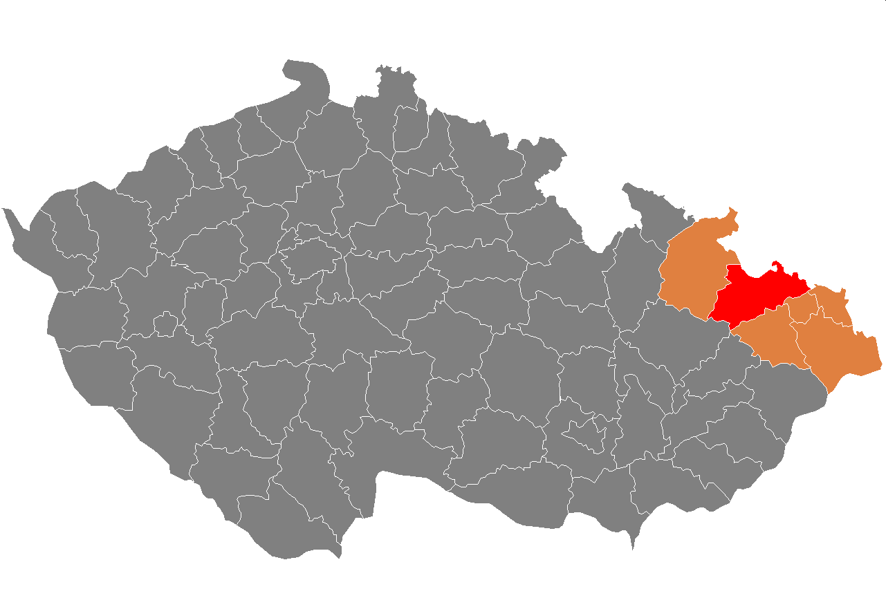
| Description | Location of Opava District within Moravian-Silesian Region and the Czech Republic. |
| Date | |
| Source | self-made, based on Image:Map CZ - district Karvina.PNG by Miaow Miaow |
| Author | Wolfgangus Mozart |
| Permission (Reusing this file) |
PD-self |
Licensing
[edit]
| I, the copyright holder of this work, release this work into the public domain. This applies worldwide. In some countries this may not be legally possible; if so: I grant anyone the right to use this work for any purpose, without any conditions, unless such conditions are required by law. |
File history
Click on a date/time to view the file as it appeared at that time.
| Date/Time | Thumbnail | Dimensions | User | Comment | |
|---|---|---|---|---|---|
| current | 09:43, 12 July 2009 | | 1,281 × 878 (54 KB) | Wolfgangus Mozart (talk | contribs) | {{Information |Description=Location of Opava District within Moravian-Silesian Region and the Czech Republic. |Source=self-made, based on Image:Map CZ - district Karvina.PNG by [[User:Miaow |
You cannot overwrite this file.
File usage on Commons
There are no pages that use this file.
File usage on other wikis
The following other wikis use this file:
- Usage on ar.wikipedia.org
- Usage on azb.wikipedia.org
- Usage on bg.wikipedia.org
- Usage on de.wikipedia.org
- Usage on en.wikipedia.org
- Usage on eo.wikipedia.org
- Usage on fa.wikipedia.org
- Usage on frr.wikipedia.org
- Usage on hu.wikipedia.org
- Usage on it.wikipedia.org
- Usage on lt.wikipedia.org
- Usage on nl.wikipedia.org
- Usage on pl.wikipedia.org
- Usage on pnb.wikipedia.org
- Usage on pt.wikipedia.org
- Opava
- Hlučín
- Predefinição:Distrito de Opava
- Litultovice
- Bělá (Morávia-Silésia)
- Bohuslavice (Morávia-Silésia)
- Bolatice
- Branka u Opavy
- Bratříkovice
- Brumovice (Morávia-Silésia)
- Březová (Morávia-Silésia)
- Budišovice
- Čermná ve Slezsku
- Darkovice
- Děhylov
- Dobroslavice
- Dolní Životice
- Háj ve Slezsku
- Hať
- Hlavnice
- Hlubočec
- Hněvošice
- Holasovice
- Hrabyně
- Chlebičov
- Chuchelná
- Chvalíkovice
- Jakartovice
- Jezdkovice
- Kobeřice
- Kozmice (Morávia-Silésia)
- Kružberk
- Kyjovice (Morávia-Silésia)
- Lhotka u Litultovic
- Ludgeřovice
- Markvartovice
View more global usage of this file.