File:Map CZ - Karlovy Vary.png
Jump to navigation
Jump to search
No higher resolution available.
Map_CZ_-_Karlovy_Vary.png (619 × 356 pixels, file size: 17 KB, MIME type: image/png)
Captions
Captions
Add a one-line explanation of what this file represents
| Description |
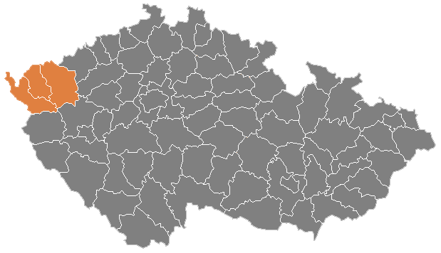
English: Karlovy Vary Region of Czech Republic with borders of its districts |
| Date | |
| Source | File:Map_CZ_-_district_Pardubice.PNG |
| Author | Michiel1972, modified by Iguacu |
Licensing
[edit]
| I, the copyright holder of this work, release this work into the public domain. This applies worldwide. In some countries this may not be legally possible; if so: I grant anyone the right to use this work for any purpose, without any conditions, unless such conditions are required by law. |
File history
Click on a date/time to view the file as it appeared at that time.
| Date/Time | Thumbnail | Dimensions | User | Comment | |
|---|---|---|---|---|---|
| current | 05:49, 11 May 2009 | | 619 × 356 (17 KB) | Iguacu (talk | contribs) | Modern borders of Districts. |
| 17:35, 5 March 2009 |  | 1,281 × 878 (37 KB) | Iguacu (talk | contribs) | {{Information |Description={{en|1=Karlovy Vary Region of Czech Republic with borders of its districts}} |Source=File:Map_CZ_-_district_Pardubice.PNG |Author=Michiel1972, modified by Iguacu |Date=5 mar 2009 |Permis |
You cannot overwrite this file.
File usage on Commons
There are no pages that use this file.